
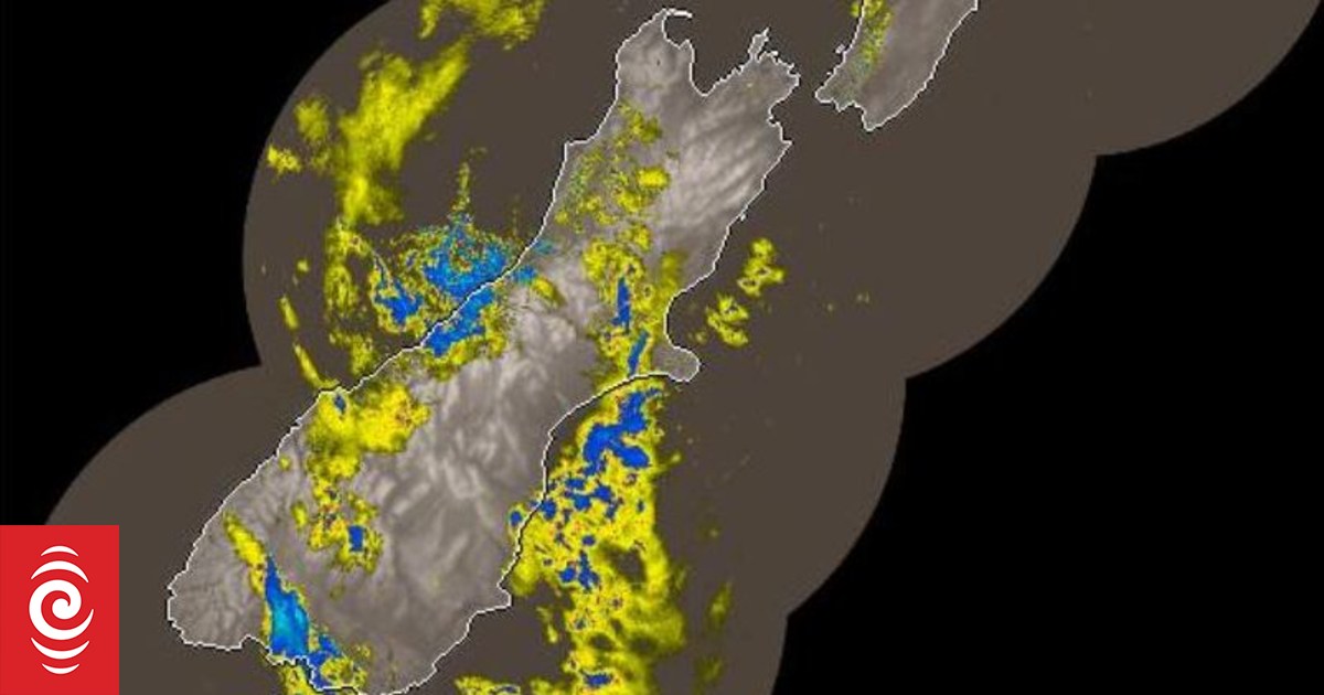
Heavy rain is forecast in the Westland region until Thursday evening.
Photo: MetService
Almost 2000 lightning strikes hit the South Island overnight as downpours batter parts of the West Coast.
MetService has recorded 1970 lightning strikes over the South Island since late last night.
It issued a severe thunderstorm watch for Westland and Fiordland north of George Sound up to 9am.
Orange heavy rain warnings cover Westland and the headwaters of Canterbury and Otago lakes and rivers until this evening, and Fiordland north of Doubtful Sound to 7am.
The Westland region was forecast to have up to 240mm of rain in the ranges by this evening, with 100mm-140mm expected near the coast.
Some thunderstorms may be severe with localised downpours of 25-45mm an hour and hail up to 20mm in diameter, MetService said.
There may be one or two small tornadoes near the coast, which cause some localised damage to buildings and vegetation, and strong wind gusts. The forecaster warned there could be surface flooding, flash flooding and slips.
West Coast Civil Defence emergency management group controller Te Arohanui Cook told Morning Report surface flooding was likely on the roads, and slips may be brought down later in the day. By early morning there had been no river level warnings, she said.
Thunderstorms were bringing localised bursts of heavy rain rather than continuous downpours in one spot.
“In Hokitika we’re going from light rain to short heavy showers but we are aware that they had heavier falls in South Westland from Hari Hari down to Haast.”
Thunderstorms were mostly off the coast but had the potential to come back on to land.
With the weather due to clear before the weekend, Cook said, the Wildfoods Festival at Hokitika was still on track.
MetService said thunderstorms should ease in Fiordland around dawn, but continue in Westland until late this afternoon or evening, and the severe thunderstorm watch for Westland may be extended.

Discussion about this post