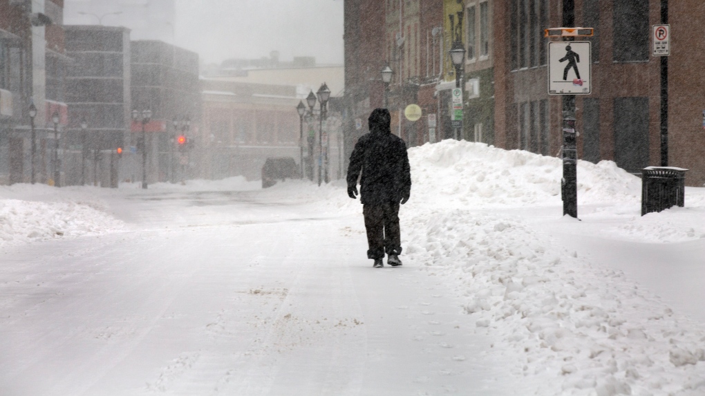
The wish from Canadians for a warm start to spring looks a little delayed as winter storms and snow drag out the wintry weather this week, according to local forecasts.
CTV Your Morning’s meteorologist Kelsey McEwen said heavy snow is set to fall in Alberta by Friday morning, bringing 10 to 30 centimetres of snowfall. The southern foothills will see the highest accumulation.
McEwen said a special weather statement was issued for B.C.’s Elk Valley, where significant snow is expected from Wednesday night until Thursday.
Further east, snow squalls and cold fronts are expected to continue in the Great Lakes until Thursday afternoon, with 15 to 35 centimetres of snow dumped and gusty winds expected during the day.
And the snow warnings don’t stop in Ontario.
McEwen said winter storm and snowfall warnings were forecast for areas along the St. Lawrence River, including the Gaspe Peninsula in Quebec, bringing in 20 to 30 centimetres of snow.
Due to a cold front, strong winds are expected in the Maritimes, including Cape Breton, and Newfoundland and Labrador.
More snow is expected in some spots on Friday as well.
Snow carried by the weather system currently hitting Alberta is expected to move east and combine with a low moving up from Texas. This is expected to hit Ontario on Friday.
A major weather system will also move up to the East Coast Friday night and into the weekend, bringing wintry conditions to the Maritimes again on Saturday.
Colorado’s low is expected to move into northern Ontario on Sunday night, leading to snowfall Monday morning, while sending mild air to the lower Great Lakes areas. This will help temperatures rise to above-seasonal highs of 6 to 10 C next week, McEwen said.


Discussion about this post