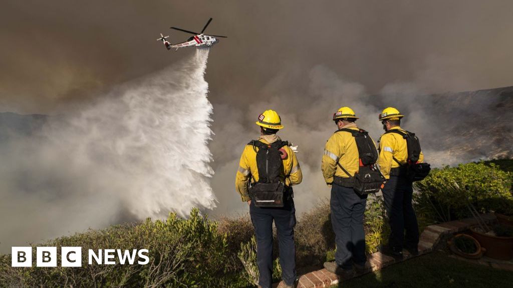
Search teams have been scouring the treacherous Barranco Madre del Agua, a river at the bottom of a staggering 2,000ft ravine in Tenerife, with personnel probing through the debris of fallen palm trees.
Jonathan Stones, who has lived on the island since he was 13, described the Teno Nature Reserve as perilous and locally known as “bad land”.
Speaking to The Sun, he said: “Where Jay was last located through his mobile phone is where he stands the least chance of survival. The desolate landscapes around the island’s holiday hotspots are referred to as ‘malpais’ by locals – a word that translates into English as ‘bad land’.”
Jonathan detailed how the area experiences extreme temperature shifts, becoming blisteringly hot by 11am with no shade or water available. “With no shade in sight, no water to hand and a deep ravine, the sun becomes an even more fierce adversary,” he added.
“And the shadowy respite offered by the hilltops is short-lived. The sun moves around the mountain sides quickly and anyone sheltering behind a craggy outcrop is soon flushed from their hide in search of the next one. I hope desperately that it’s a riddle solved in time for Jay to be reunited safely with his family.”
Visitors to the Teno Nature Reserve have taken to Trip Advisor to warn others about the perilous conditions. One user, under the title ‘dangerous’, wrote: “The road is very dangerous, the track goes below cliffs and is very narrow, there is a sign saying that you are entering into a danger zone and if you continue it is your own responsibility. I think for this reason there are not many people here. Complete nature … wind, waves, sun, mountains and a small lighthouse, incredible.”
An employee at the Masca visitor centre, which provides passes to hikers embarking on the challenging descent down the region’s renowned canyon, warned of the ease with which one can lose their way on the remote mountain trails in the vicinity. “There’s a lot of people that usually get lost here, there’s a lot of forest. We’ve already had a lot of news of tourists getting on trails they shouldn’t have and getting lost. I’ve seen a lot of helicopters flying around the rural park for years.
“There’s a lot of trails in the park, there’s a lot of forest, but it’s quite difficult for communication because there is not phone signal everywhere here. And then there are loads of trails that you can find on different websites on the internet which are not official trails, they have been closed specifically because there have been accidents there with people getting lost. The land is quite difficult, there are rockfalls because of the changing weather. There have been a lot of rescues in this part of the natural park.”


.png)


Discussion about this post