By Roxanne Reid
I’ve heard it described as a fusion of the Sani and Bloukrans passes, with a smidge of Tsitsikamma beauty thrown in for good measure. I’m talking about the Baviaanskloof Wilderness Area, which is tucked away in the southwestern corner of South Africa’s Eastern Cape, somewhere between the Karoo midlands and the Gamtoos Valley.
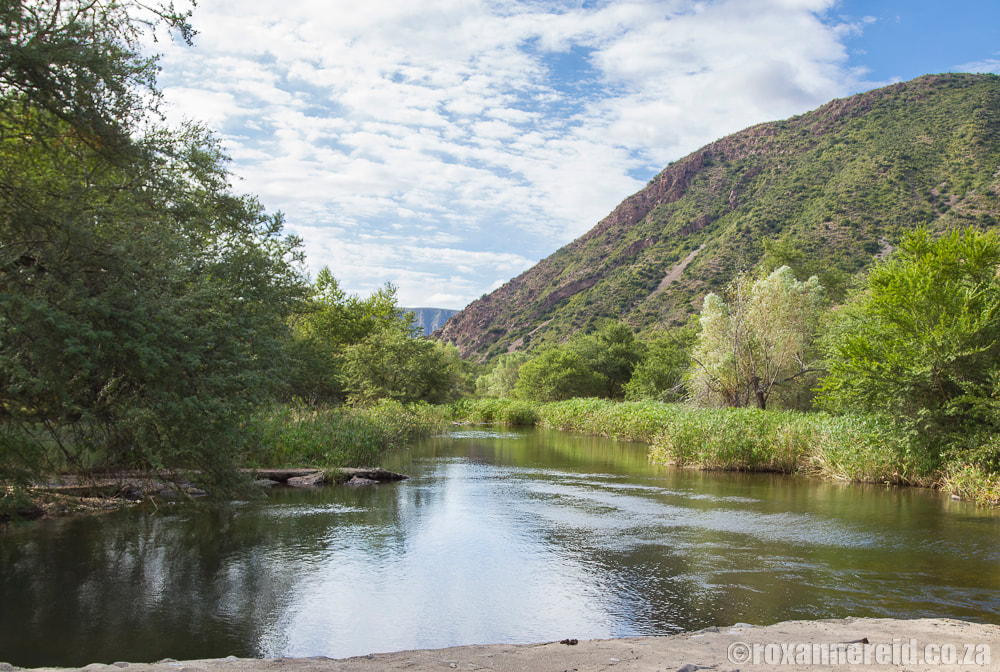
There’s so much to enjoy along the way and the roads are fairly rough through the Baviaanskloof Wilderness Area itself so don’t expect to do this route in less than eight or nine hours. Rather slow down and relish the towering cliffs, deep ravines, winding streams, and open plateaus. Wherever you find yourself, the Baviaanskloof is a place where beauty and diversity just about smack you in the face.
The valley of baboons
The Baviaanskloof is dominated by the Kouga and Baviaanskloof mountains running in parallel between east and west, both ranges a part of the Cape Fold Mountains. The word Baviaanskloof means ‘valley of baboons’ and it’s an integral part of the Cape Floral Region, which is a UNESCO World Heritage Site.
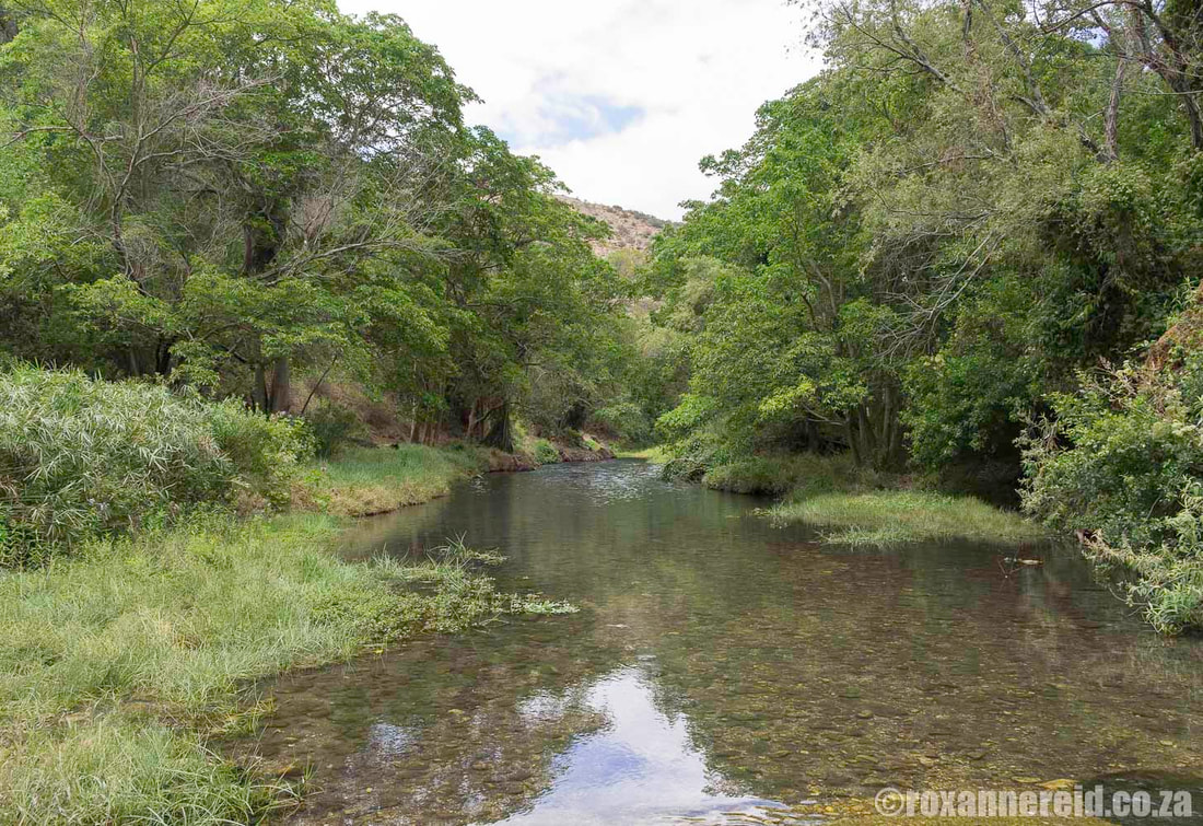
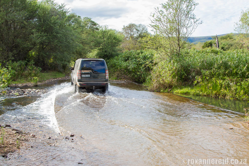
There are more than 40 river crossings over low causeways that add to the excitement and splendour of the adventure. Just be aware that they may flood after heavy rain – but more about that later.
The Baviaanskloof is divided into three parts and we’ll look at all three in more detail below. They are:
- The western section from Willowmore to the western entrance gate to the Wilderness Area is about 100km, dominated by farms and guest houses or self-catering cottages, many of them providing hiking, mountain biking and 4×4 trails. Zandvlakte is the last farm about 4km before the gate.
- The Baviaanskloof Wilderness Area or nature reserve is about 60km through a wonderfully unspoiled wilderness rich in plants and wildlife.
- The eastern section from the eastern gate at Poortjies to Patensie is about 40km along the Grootrivierpoort and Gamtoos River. There are also a number of guest houses and self-catering cottages in this section.
Since 2002, there’s also the wider Baviaanskloof Mega-Reserve, which combines the Wilderness Area with a network of private and communal land. A Mega-Reserve is a largely pristine habitat big enough to encourage all the ecological processes needed to maintain biodiversity in the long term. The Baviaanskloof Mega-Reserve is managed in co-operation with conservation authorities and should eventually reach 500 000ha.
Although you can drive the Baviaanskloof route in either direction, I’ve chosen to follow and describe it from west to east. To orientate yourself, see this map of the Baviaanskloof.
Things to do in the Baviaanskloof
For the more adventurous, there are heaps of activities to keep you busy, whether you want to mountain-bike along the scenic R332 or a mountain trail, go rock and mountain climbing, drive a 4×4 trail, or hike into ravines, across rivers and up to waterfalls. Ask your hosts for what’s available in the area where you’re staying (see ‘Baviaanskloof acommodation’ below). You can also talk to the guys at the tourism centre in Willowmore’s municipal building on Knysna Street, or Tolbos in Patensie (on your right as you come into Patensie from Hankey); it’s a restaurant/shop that doubles as an info centre.
1. Animal spotting
Drive through the reserve for a chance to spot mammals like antelope, buffaloes and baboons (see ‘Wildlife’ below).
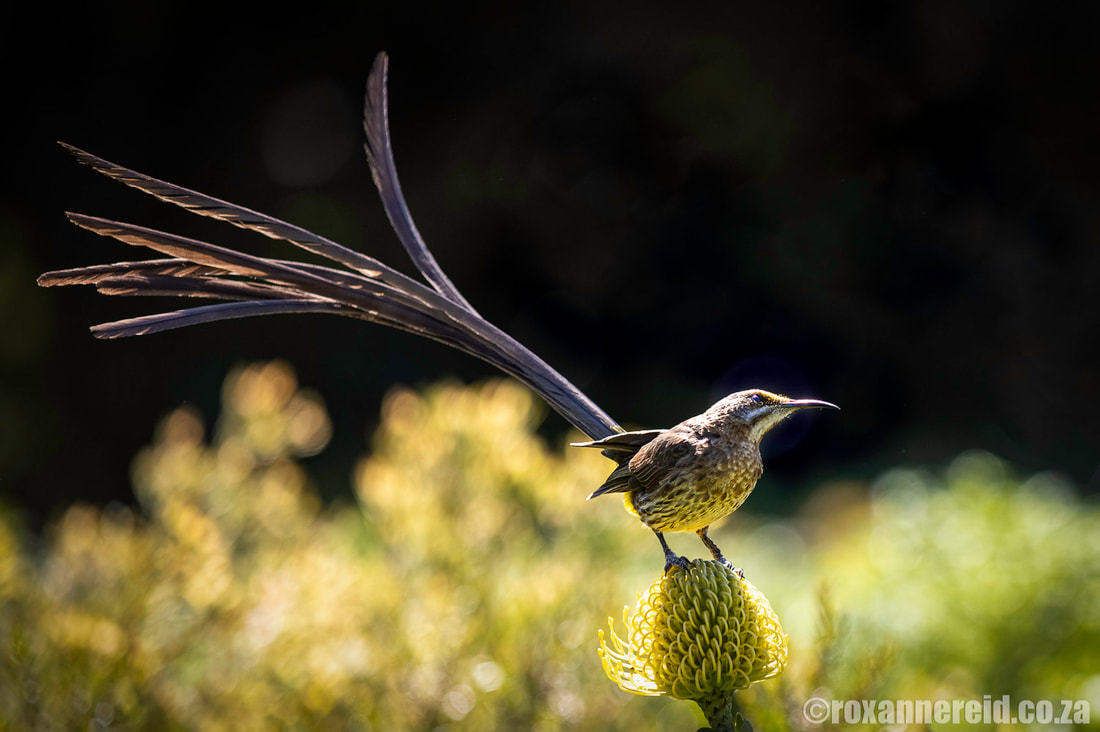
While you drive through the reserve or stay over in Baviaanskloof accommodation, keep your binos near at hand for some bird watching (see ‘Wildlife’ below).
3. Star-gazing
Stay over anywhere in the Baviaanskloof and make use of the clear skies and lack of light pollution to do some star-gazing. If you time your visit to avoid the full moon, you’ll find a dark sky perforated by millions of stars.
4. Picnicking
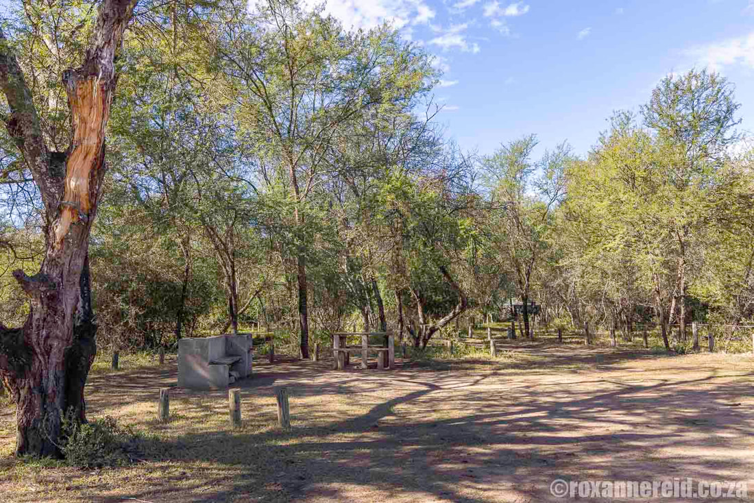
Stop at the Smitskraal picnic site about halfway between Grasnek Pass and Langkop Pass inside the Wilderness Area. There are braais, picnic tables and benches, loos, but no bins because baboons dig in and make a mess. Please take all your rubbish with you.
Another picnic site on the western side of the reserve is at Sewefontein (see Sewefontein Wild Fig Tree Forest in ‘Attractions west of the Wilderness Area’ below).
If simply driving through the Baviaanskloof Wilderness Area isn’t enough of a 4×4 challenge for you, here are some places where you can stay to do a 4×4 trail or experience one as a day visitor.
5. Hiking trails
Keen hikers will be pleased to know there’s a feast of trails for them to explore.
The Leopard Trail at Cedar Falls is the Big Kahuna, a three-night, four-day slackpacking trail, with your bags transported to the next hut while you hike with only a day-pack. It’s not for sissies or the unfit; the longest day is 22km, and there are some fairly steep climbs and descents.
6. Mountain biking trails
Bring your mountain bike and take to the gravel roads of the Baviaanskloof. (Note, though, that you won’t be allowed to ride between the gates of the reserve unsupported by a vehicle.) A number of guest farms have mountain biking tracks for guests, and others are open to day visitors for a small fee. Consider some of these:
Attractions west of the Wilderness Area
The area between the N9 south of Willowmore and the Wilderness Area to the east is a 100km stretch of mountains and valleys, with angora goat, olive and vegetable seed farms, as well as some growing rosemary and lavender for essential oils. Many of the farms also offer guest accommodation as well as hikes, mountain biking tracks and 4×4 trails.
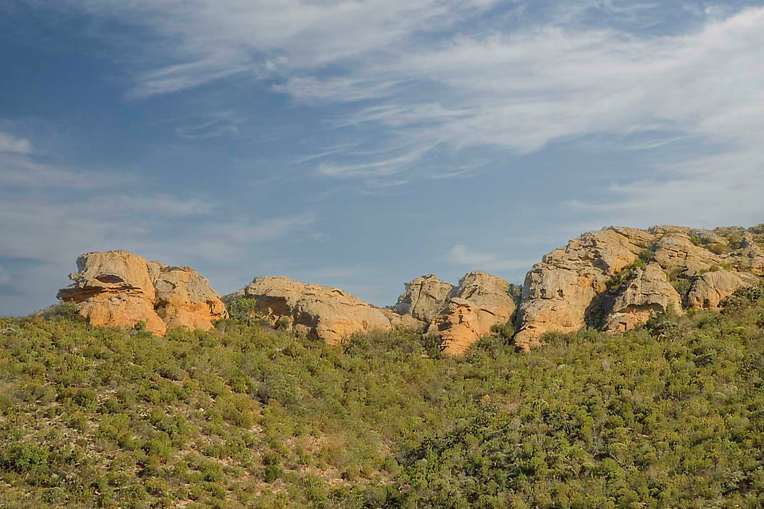
Nuwekloof Pass – This pass is officially the entrance to the Baviaanskloof in the west. It’s a winding-climbing-dropping medley of lovely rock formations, towering lichen-splashed cliffs, and plenty of aloes in bloom in winter. Look out for Willowmore cedar trees, which are endemic to the area, and renosterveld vegetation. Back in 1920 when Model T Fords were still around, there was an interesting way to drive the pass. Because the fuel tank fed petrol to the engine by gravity, you had to drive up the pass backwards. Not something I’d like to try today.
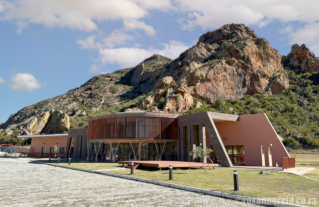
New Interpretive Centre – This architecturally interesting info centre opened in February 2022 but was still not fully operational when we visited in May 2023. It did have two interactive screens showing Baviaanskloof accommodation options, and two 3D presentations about the area and its natural and cultural heritage. We were told that a café and crafters’ stalls were still on tender. The centre is government funded but managed by the Eastern Cape Parks and Tourism Agency.
Vensterklip – You’ll recognise the rock that bears this name because it has a hole or ‘window’ through the middle of it. Apparently, the area was the scene of a clash between police and a group of Boer rebels during the Anglo-Boer War of 1899-1902.
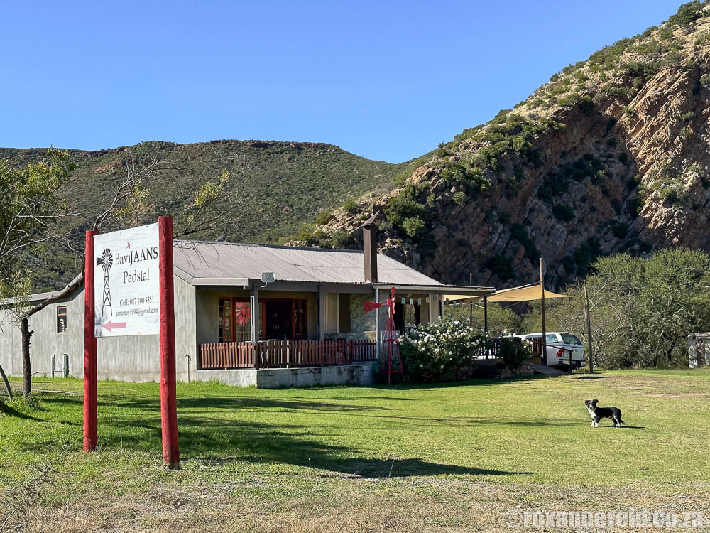
Bavijaans Padstal – This small farmstall makes a good place to stop for breakfast or lunch, as well as to stock up with things like ice and wood for your stay in the kloof.
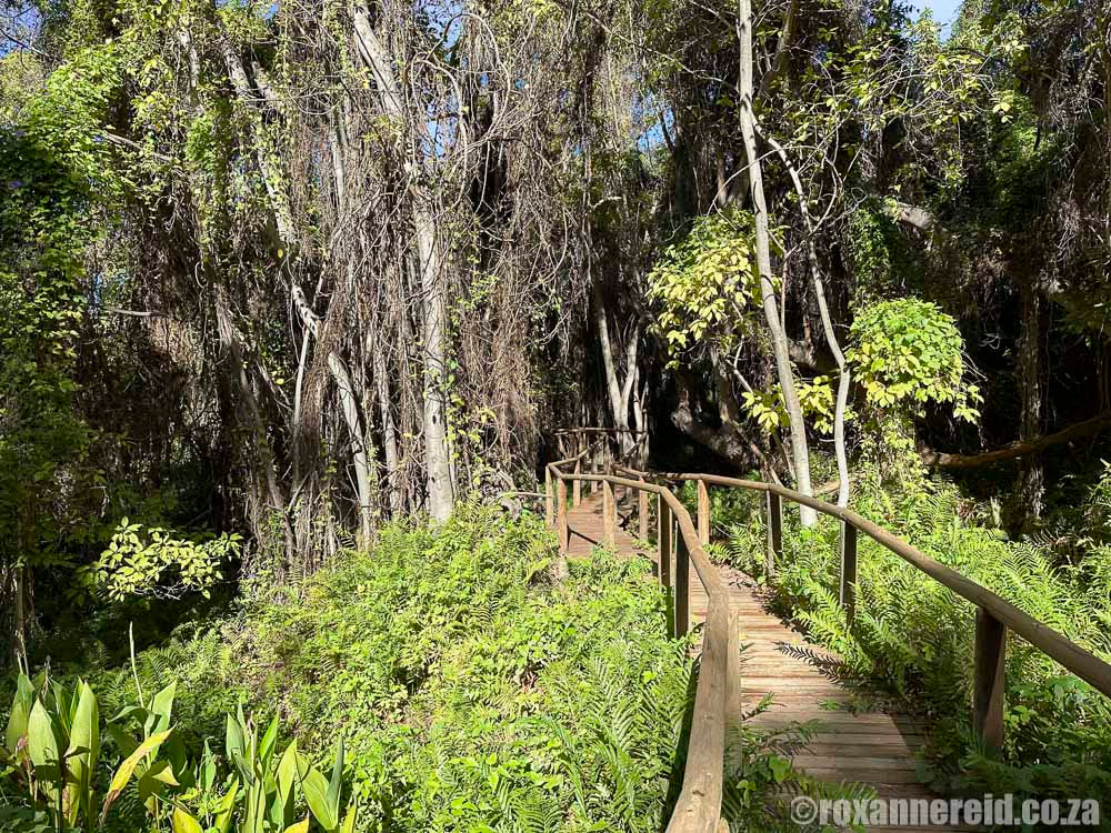
Sewefontein Wild Fig Tree Forest – You’ll find the Sewefontein Wild Fig Tree Forest about 75km from the N9 on the Willowmore side. Pay a fee at reception and let a guide take you along a very short boardwalk to the shady forest on this community farm which has, as the name suggests, seven natural springs. According to our guide the huge trees that tower above you are between 500 000 and a million years old. Spend some time listening for birds and admiring the forest, then pop over the road to the picnic site to enjoy some sarmies or a braai.
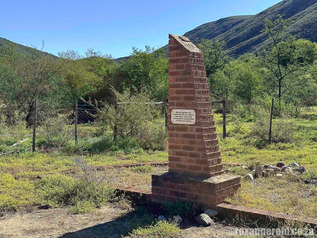
Campbell Monument – The Baviaanskloof might seem very dry when you visit, but given the number of rivers that flow through it, you can imagine how often the area experiences floods. The Campbell Monument was built by local farmers to commemorate people who lost their lives in a devastating flood in May 1916.
Baviaanskloof Wilderness Area
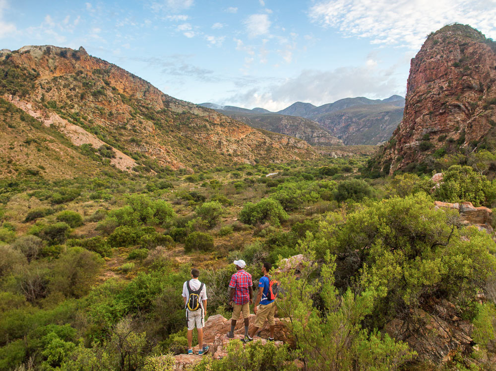
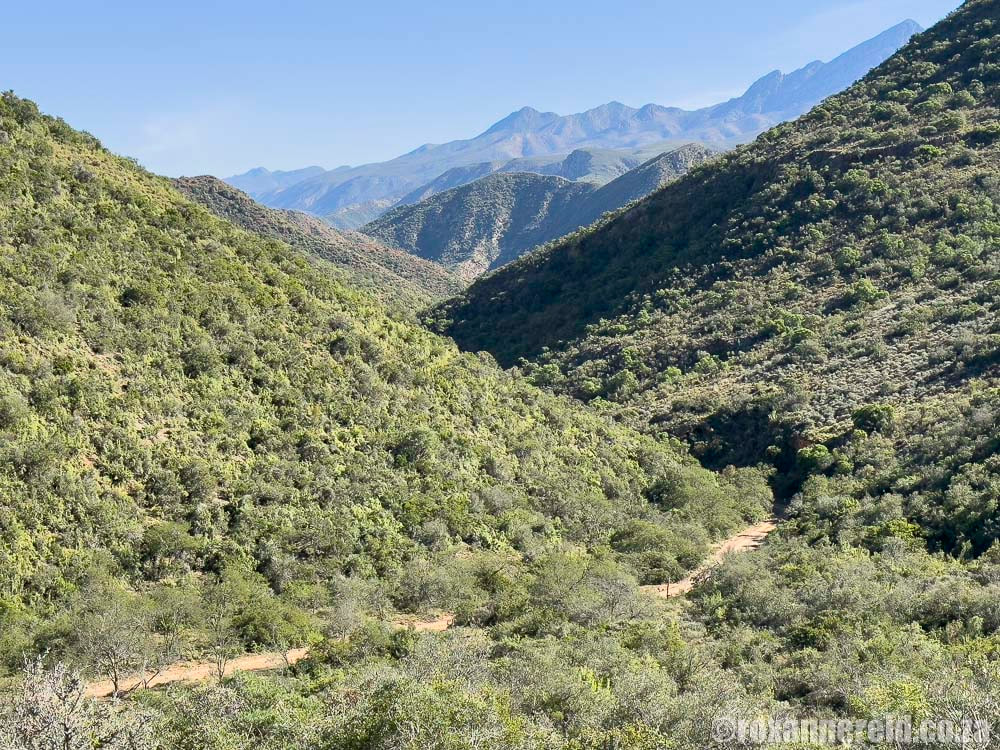
It doesn’t really matter whether you refer to it as the Baviaanskloof Wilderness Area or Baviaanskloof nature reserve; what does is that it’s a huge reason why people come here. It’s a wild and rugged place that seems largely untouched by man – and all the more appealing because of it. The ever-changing landscape includes sub-tropical thickets, forests, mountain fynbos and typical Karoo vegetation, with a chance to spot mammals and birds.
Everyone who enters the reserve needs to buy a permit at either the western or eastern entrance gate. We paid R59 per person in May 2023, and kids were R30. Cash only. The gates open at 7:00 and close at 16:00.
Plants and World Heritage status
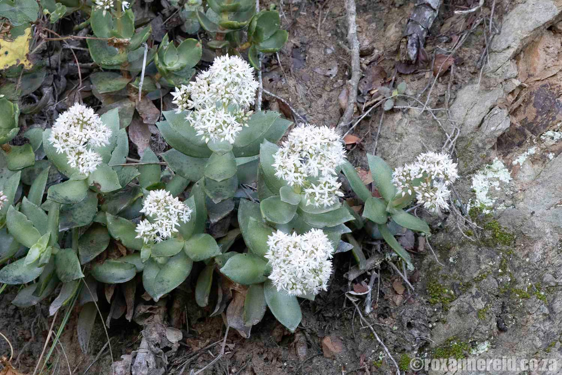
If you’re keen on plants, this stunning wilderness should definitely be on your bucket list. The Baviaanskloof Wilderness Area is part of UNESCO’s Cape Floral Region World Heritage Site and includes seven of South Africa’s eight biomes – Fynbos, Forest, Grassland, Succulent Karoo, Nama-Karoo, Subtropical Thicket, and Savannah. It’s also one of the world’s 34 biodiversity hotspots, which means it’s both rich with life and at high risk of destruction unless it’s protected from human activities.
If you’re really keen on plants, get hold of the recently published Plants of the Baviaanskloof by Douglas Euston-Brown and Magriet Kruger (who, incidentally, lives in the Baviaanskloof). It describes some 1100 species, with full colour photos to help you identify what you find.
Some of the dense green forests may remind you of the indigenous forests around Knysna on the Garden Route, while plumbago and pelargoniums grow in profusion along parts of the road, which was built in the 1880s by ingenious road engineer, Thomas Bain (yes, the guy who also built the Karoo’s Swartberg Pass, among many others).
Cultural history
Archaeologists reckon the earliest inhabitants lived here two to three million years ago. Stone tools discovered in the area show that humans occupied this land through the Early, Middle and Late Stone Ages. The San have left behind rock art in some of the caves, which they used as shelters. Khoi pastoralists also lived here about 2000 years ago. The first white settlers arrived in the late 18th century.
Wildlife
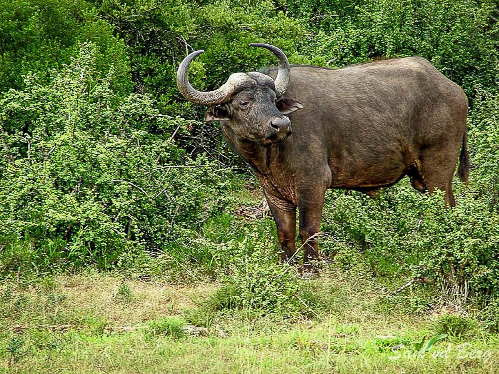
There are 48 mammal species in the reserve. People who get excited by wildlife come here in the hopes of seeing Cape mountain zebra, red hartbeest, kudu, grey rhebuck, mountain reedbuck, bushbuck, klipspringer, and eland. You might even see two of the Big Five, buffalo and leopard, although leopards are notoriously shy and elusive, sticking to the difficult-to-reach mountainous areas. You have a better chance of seeing buffalo feeding at the edge of the road – a really good reason not to go fast here because hitting a 900kg buffalo is no joke.
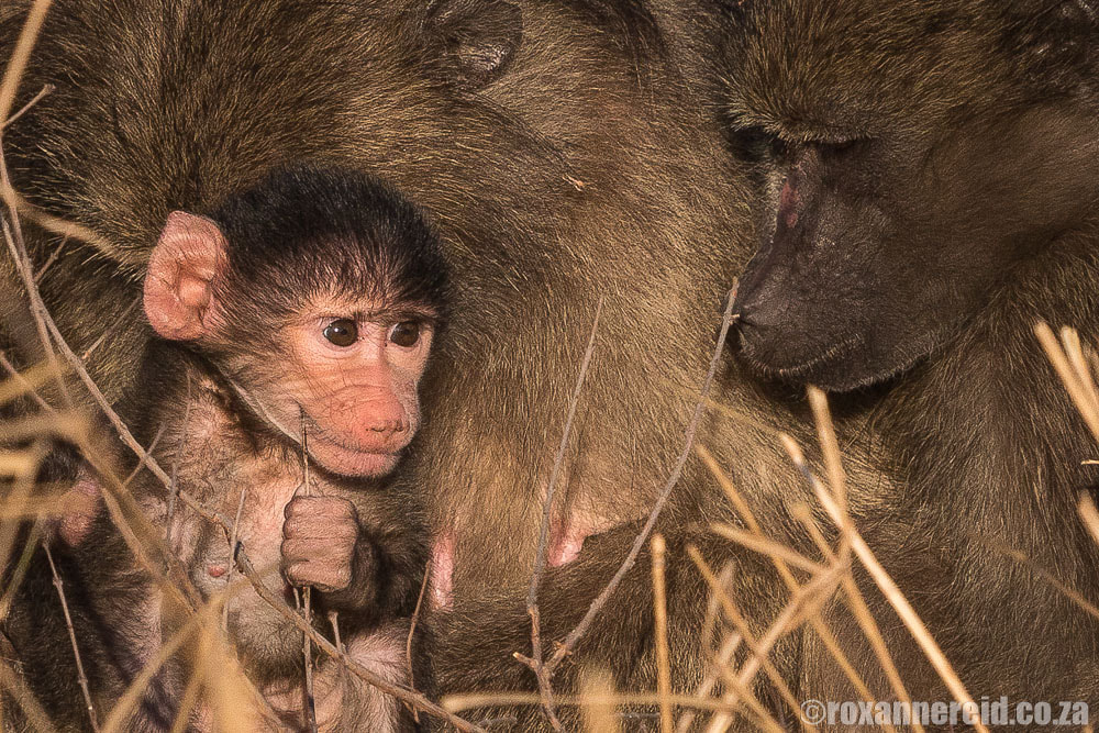
Caracals, bushpigs and Cape clawless otters also live in the area, but tend to be secretive so you’d be extremely lucky to see them. The animals you’ll almost always see if you stay alert are chacma baboons, vervet monkeys, grey mongooses, and dassies (rock hyraxes).
Interesting names
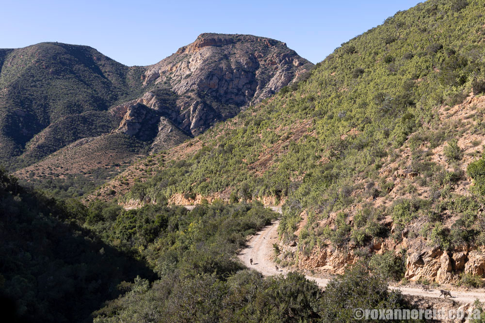
The Baviaanskloof is a changing landscape where the gravel road drops from steep mountains to the valley floor and then climbs back up again, over and over. Along the way you’ll come across descriptive Afrikaans names that are testimony to past circumstances.
The Dutch word for baboon is baviaan, so we know that the Baviaanskloof is named after the baboons that echo among the crags in the area. But what stories lie behind some of the other names?
Doodsklip (death rock) was originally known as Lemoentuin and the story goes that a fisherman who had a bit too much to drink tied a line to his big toe and had dozed off when a huge fish pulled him into the water. Another ghoulish name is Moordenaarskloof (murderer’s ravine), where a construction crew blasting to build the road uncovered a human skull.
Attractions in the Wilderness Area
Among the most exhilarating aspects of the Baviaanskloof Wilderness Area are its steep, winding passes and poorts where you may have to drive through the water for up to 400m.
Grasnek Pass – Just over 8km long, this pass includes more than 80 bends. The gradient as you climb in the west can be as steep as 1:6, and it’s worth stopping at the top for some views of the Baviaankloof mountains. As it descends, you’ll look out over the Kouga mountains.
Smitskraal day visitors site – There are braais, picnic tables and benches, and loos at this picnic site. Note that there are no bins because baboons have a bad habit of raiding them, so you need to take your rubbish with you. If you’re travelling west to east, this is a good place to stop and gather your wits just before the longest river crossing of 400m.
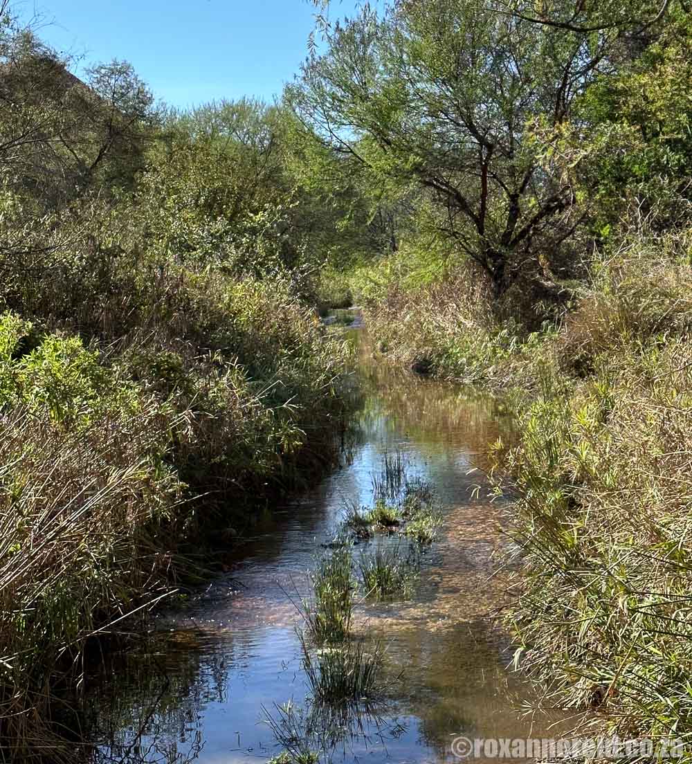
The 400m water crossing just east of Smitskraal picnic site is a leap of faith unless you’ve done a recce first
Holgat Pass – This pass is the trifecta of long, narrow and steep. There are around 50 bends – some of them more than 90-degrees – along the pass, which is just under 5km long. There are two concrete strips for traction over the toughest sections. The track isn’t wide enough for two vehicles to pass, so keep your eyes peeled for approaching vehicles and find a suitable place to pull over so it can pass. You don’t want to be reversing along the pass where there are steep drop-offs without any safety railings. Admire the mountain fynbos, aloes, and spekboom thickets along the way to the summit at 560m above sea level.
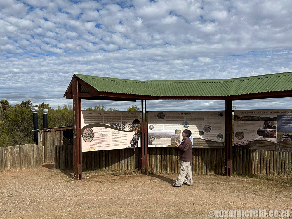
Pisgoedvlakte/Bergplaas plateau – This plateau of grasslands and mountain fynbos lies east of the summit of Holgat Pass. Stop to admire the views, look for Cape mountain zebras, and read some of the information boards while you prepare for the descent that is Combrink’s Pass. There’s also a long-drop toilet with a fabulous view.
(If you’re worried, it might help to know that my husband/driver hates heights but he’s driven this route four or five times now, and wasn’t overly stressed except for the time we got caught in a sudden rainstorm, which made the passes very slippery.)
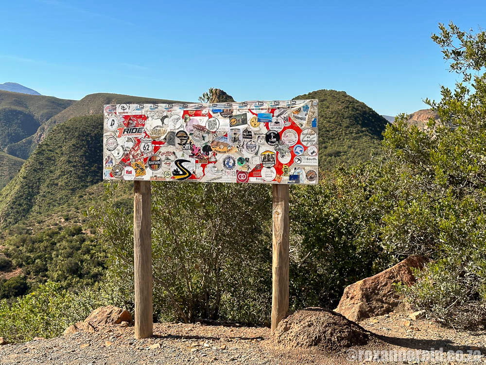
Irresponsible travellers have littered this signpost with stickers, obscuring the name of the pass and its height; PLEASE don’t do this!
Once you leave the Wilderness Area through the eastern gate, all is not lost. There’s still much beauty to enjoy on the way to Patensie.
Cambria forest – Just as you leave the reserve you’ll meander through a lush area of natural forest.
Baviaanskloof Interpretive Centre – This info centre makes a good stop if you’re entering the Wilderness Area from the east. Here you can learn about some of the Baviaanskloof’s natural heritage and biodiversity, as well as its cultural history.
Grootrivierpoort and Gamtoos River – The Groot River carves its way through rugged rock formations before it joins the Gamtoos River where the road continues to follow the sweeps and curves of the river. From the eastern gate of the reserve at Poortjies, it’s about 40km along this route to the town of Patensie.
Kouga Dam – This double curvature arch dam with its 82m-high wall was built between 1957 and 1969 and has a storage capacity of nearly 130 million cubic metres. The total length of the main canal is 97km.
Baviaanskloof accommodation
The road from Willowmore to Patensie is some 200km and will take at least eight or nine hours, more if you stop frequently to explore or take photos, so it’s best to at least stay overnight somewhere along the way.
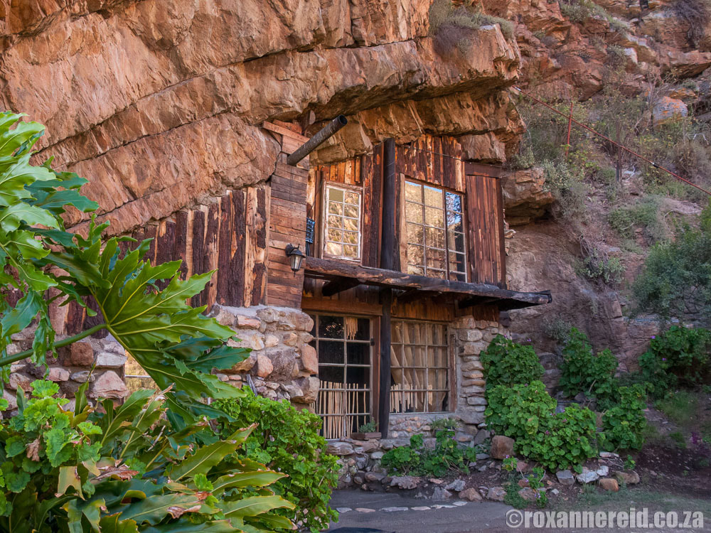
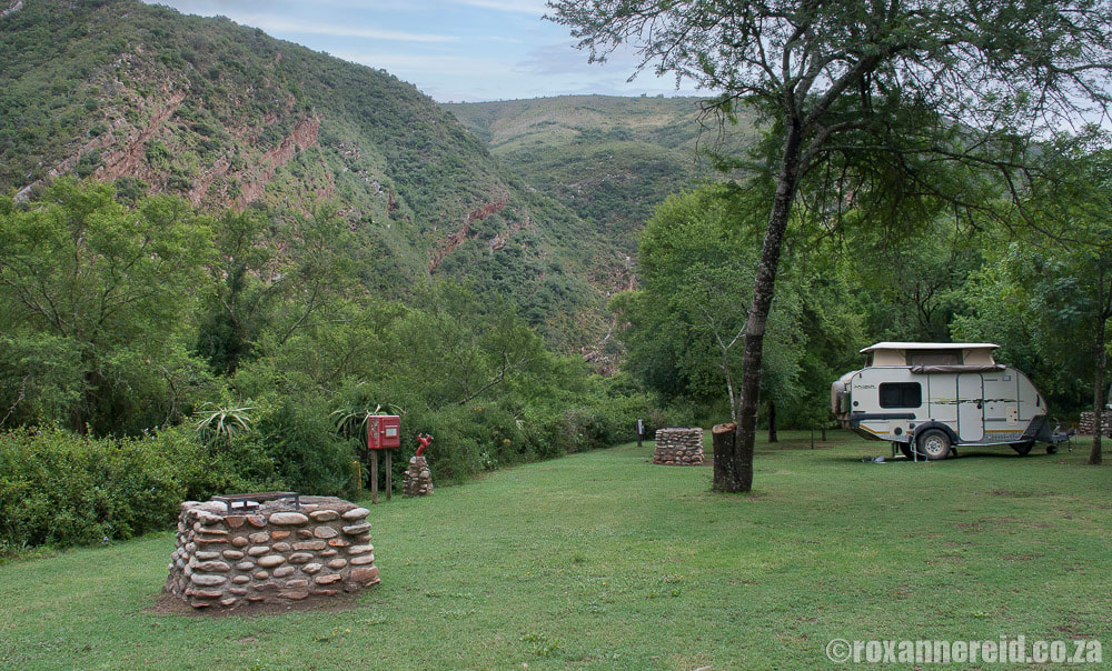
You’ll find everything from guest houses, guest farms, B&Bs, self-catering cottages and campsites both west and east of the Wilderness Area. See my post about Willowmore for some accommodation options and things to do in that town, which is the western gateway to the Baviaanskloof.
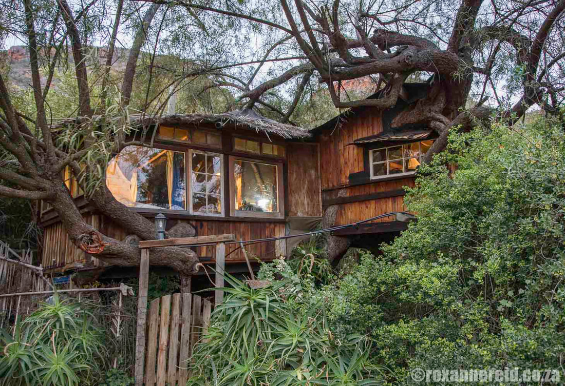
The charming Speekhout Treehouse seems to have grown organically, fitting around branches and using odd-shaped windows
You can also stay in bungalows at Geelhoutbos, each sleeping 6 people (although this isn’t available until the beginning of April 2024), or at the Bergplaas Mountain Hut, with bunk beds for 12 people.
Book for all these with the Eastern Cape Park & Tourism Agency (ECPTA), tel 043 492-0881, or with the Komdomo office, tel 087 286 6494. To be honest, it’s sometimes quite frustrating to get through to these numbers because they’re out of order or just not answered. Unless you have queries, your easiest option is to book online at http://bookonline.ecpta.co.za.
3. To the east of the Wilderness Area, we’ve stayed at:
Other accommodation between the eastern gate of the reserve and Patensie includes Bruintjieshoogte Campsite, Kudu Kaya Guest Farm, De Mist Cottage, Twee Waters Guest Farm, and Gonjah Chalet and Campsite.
1. Willowmore
At about 5km from the western entrance to the R332, Willowmore is the western starting point for the Baviaanskloof. It has a number of laid-back coffeeshops and restaurants serving breakfast, lunch, tea/coffee and sweet treats. See point 14 in my post about Willowmore for more info about these.
2. Vero’s
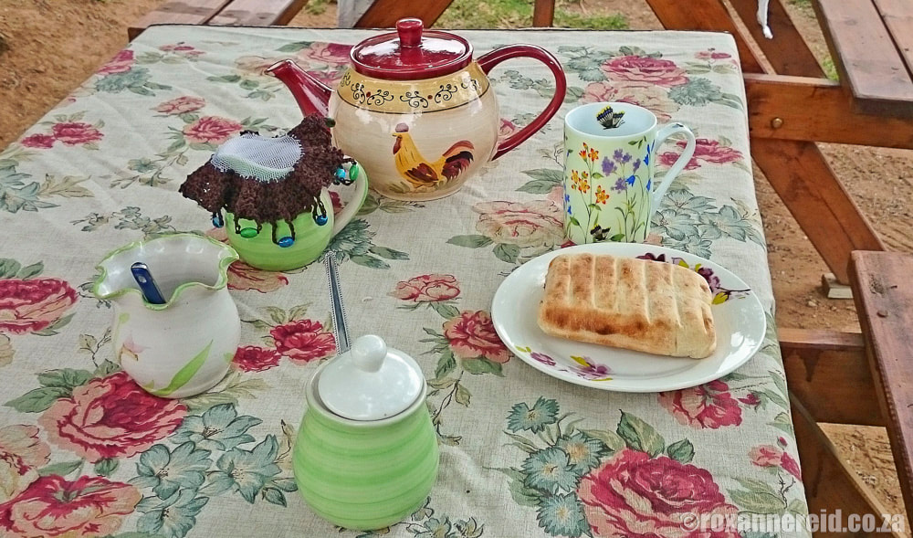
Stop at Vero’s small house on a bend in the road along the R332 for homemade roosterkoek with jam or cheese. It’s a tiny place and there’s not much choice – basically, it’s roosterkoek with jam or roosterkoek with cheese – but they’re always fresh and delicious. Sit at tables under the trees and wash them down with tea/coffee or a cold drink.
You’ll find the small Bavijaans Padstal (farm stall) about 500m east of the Baviaanskloof Cottages turnoff along the R332. Stop for breakfast or lunch, or to stock up with ice and wood.
Padlangs is about 7km west of the town of Patensie, which is the gateway to the Baviaanskloof in the east. It’s both a country restaurant serving breakfast, lunch and tea, and a shop selling everything from décor pieces and gifts to a variety of jams, preserves, biscuits, dried fruit and nuts.
5. Tolbos
Tolbos is on the R331 at the eastern edge of Patensie. Eat around the fireplace in winter or under a shady tree on the verandah in summer. The menu includes breakfasts, burgers, wraps, salads, sandwiches, and sweet treats. The shop has a variety of home-made preserves, gifts, wines, bath oils and body lotions. Tolbos doubles as a tourist info centre, which makes it a particularly good stop if you’re approaching the Baviaanskloof from the east.
Climate
Temperatures in mid-summer (November to February) can reach the high 30s or low 40 degrees Celsius, while the winter minimums can be as low as 2-3 degrees Celsius, especially in June-August, when snow sometimes falls on the high mountain peaks. Winter daytime temperatures get up to around a balmy 18 degrees, but the breezes can be icy.
Rain falls all year round, with slightly more during March and October. The eastern areas of the Wilderness Area get more summer rains than the farmlands to the west, and thunderstorms aren’t uncommon. Topography also plays a role, with lower-lying areas getting around 250mm a year while higher altitudes get as much as 800mm.
Best time to visit the Baviaanskloof
Everyone will have her or his preferred season, with summer holidays top of the pile for many South Africans. I don’t enjoy very high temperatures, so for me the best time to visit the Baviaanskloof is September, before the summer rains cause the river crossings to become too deep, or in April before the winter cold really starts to bite.
When you’re planning your Baviaanskloof trip, it’s always useful to know the distances and the times that certain roads will take, especially the rough and therefore slow roads through the Wilderness Area itself. Here’s a useful table of distance and travel times.
Do be aware of how much time it takes to travel the 60km through the reserve. It took us about 5 hours in May 2023, although admittedly we did stop here and there to take photos and soak up the scenery.
Road conditions: do you need a 4×4?
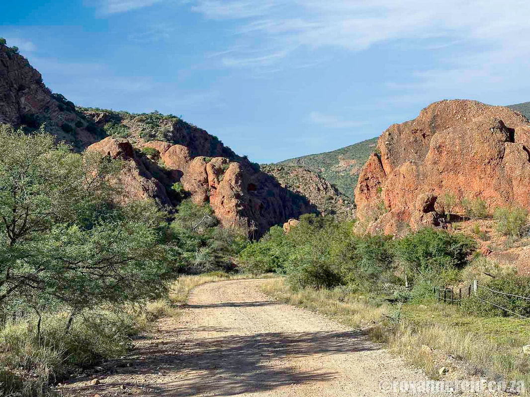
The road from Willowmore in the west to Zandvlakte and the western gate just less than 100km away is suitable for normal vehicles, although high clearance would be an advantage. (In other words, taking your low-slung Ferrari is probably not a great idea!)
The road from the eastern gate of the reserve to Patensie is also fine for normal sedans; the gravel R332 meets the tarred R331 about 20km west of Patensie.
But to drive through the Wilderness Area itself, you do need a 4×4.
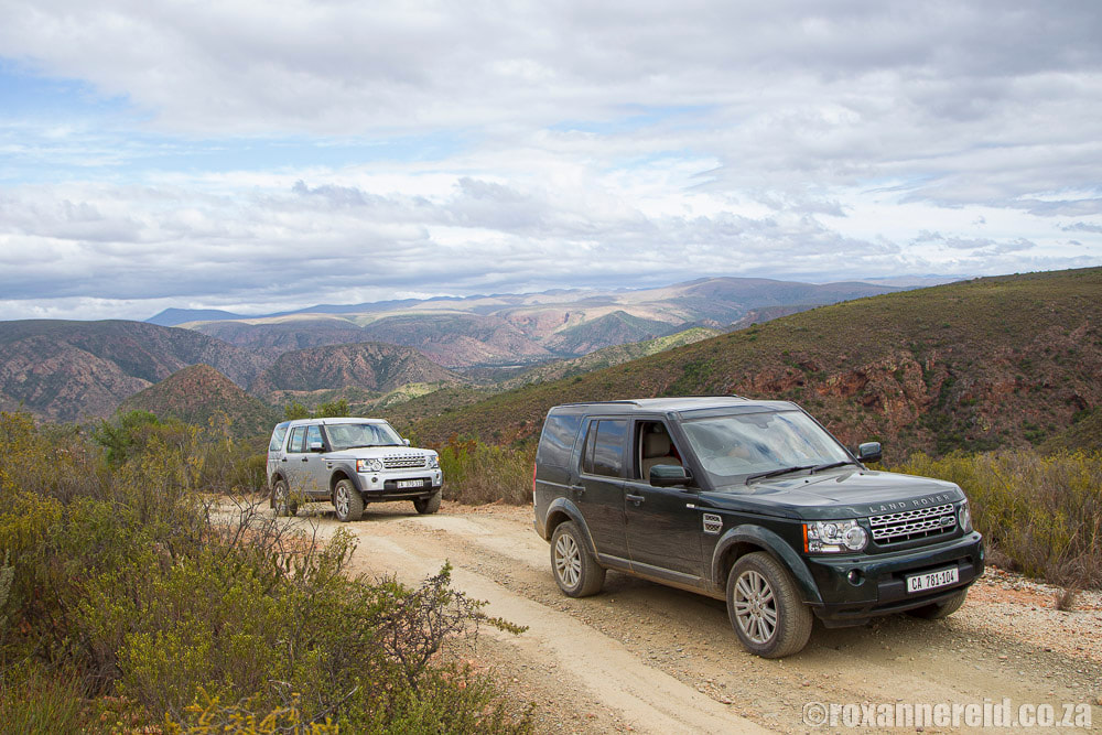
You do need a 4×4 to drive through the Wilderness Area, although this road on the Bergplaas plateau makes it look easy. Remember that when we were driving the steep passes we didn’t stop for photos!
The longest water crossing just east of Smitskraal day visitors’ area is a full 400m; when you begin, you can’t see the end. Always check the water levels before attempting to cross any drift – can you see the bottom? Are there any large wash-aways under the water in which your vehicle might get stuck? Given the patchy cellphone signal in the Kloof (see ‘Top tips for your Baviaanskloof adventure’ below), you don’t want to have an emergency that requires assistance.
Top tips for your Baviaanskloof adventure
- Cellphone signal is very spotty from Nuwekloof almost to Patensie, though you can get MTN between Sewefontein and Zandvlakte and on a short stretch at Pisgoedvlakte/Bergplaas.
- Because of the connectivity problem, don’t try phoning to make reservations at the accommodation of your choice. Best is either to email or to send a Whatsapp message (despite the lack of connectivity for calls, Whatsapp does work). It shouldn’t take more than a couple of days for them to get back to you.
- There are no ATM or credit card facilities so don’t forget to take cash.
- Again, because of the patchy cellphone signal, it’s best to get the maps you need beforehand. Either download them on to your phone or buy a printed map. Slingsby Maps (now part of Tracks4Africa) have a detailed print map of the Baviaanskloof that you can buy online before your visit.
- There’s nowhere in the Baviaanskloof to buy fuel so fill up your fuel tank beforehand at Willowmore in the west or Patensie in the east.
- Get your spare wheel checked and pumped and make sure you have a jack and spanners in case you need to change a tyre.
- The Wilderness Area’s gates are open from 7:00 till 16:00 daily.
- Entrance fees for the Wilderness Area must be paid in cash (and your Wild Card is not accepted). The fee is R59 per adult and R30 per child (in July 2023).
- Pets aren’t allowed in the Wilderness Area so leave Fido and Felix at home with a friend.
You may also enjoy
16 things to do in Willowmore in the Karoo
Sleep in the Makkedaat Caves in the Baviaanskloof
Magical Speekhout tree house in the Baviaanskloof
Like it? Pin this image!









Discussion about this post