Last updated:
The Memorial Lakes are a series of three lakes in Kananaskis Country, with each one more difficult to reach that the previous one. The upper lake, accessed by a gnarly scramble, is home to a stone memorial to honour 13 victims killed in three separate plane accidents in 1986, two of which were search and rescue operations for the first plane crash. The amount of bad luck is unbelievable! The hike to the Memorial Lakes can serve as a reminder of how fleeting life can be.
The Memorial Lakes hike is moderate to challenging, depending on how far you go. We chose to do the hike on a hot, sunny day, knowing that there was plenty of water for our dog along the route and enough shade to keep us somewhat cool. We stopped at the stunning second Memorial Lake and would not have wanted to scramble up to the third lake with a dog after hearing from a couple of guys on the way down that there was a stretch of fourth-class scrambling. Hike within your limits, especially on this one as you don’t see a lot of people.
This post includes some affiliate links. If you make a qualifying purchase through one of these links, I will receive a small percentage of the sale at no extra cost to you. Thank you very much for your support.
Memorial Lakes hike in Kananaskis summary
Distance: 15.2 km (9.4 miles) return to the middle lake; 17.2 km (10.7 miles) return to Upper Memorial Lake
Elevation gain: 599 m (1,965 feet) to the second lake and 816 m (2,677 feet) to the third lake.
Time needed: 5 – 6 hours for the middle lake, 6 – 7 hours for the upper lake.
Level of difficulty: Moderate to difficult to the middle lake and challenging to the third lake.
Location: Bow Valley Wildland Provincial Park
Trailhead: The Memorial Lakes hike starts at the Ribbon Creek Day-Use Area and shares the same start as the Ribbon Falls hike.
Best time to hike: Late June until mid-October. Ideally you want a snow-free trail.
Backcountry campsite: A no-fee backcountry camping permit is required to camp at Memorial Lakes. To get a permit visit the Alberta Parks Visitor Information Centre in Kananaskis Country.

Finding the trailhead for the Memorial Lakes hike
From the Trans-Canada Highway, drive south on Highway 40 for 22.8 km and turn right (west) onto Mt Allan Drive, signed for Nakiska Ski Area. Continue for 850 metres. Take your first left onto Centennial Drive. Drive 250 m and turn right onto Ribbon Creek Road (you’ll pass the Kananaskis Hostel) and continue to the large parking lot at the end of the road.
The hike starts from the western end of the parking lot beside Ribbon Creek. There is signage. At the trailhead there are also washrooms and garbage cans. This parking lot is also the starting point for the Ribbon Falls hike (you hike the same trail for the first 4 km) and the fantastic but long and hard Centennial Ridge – Mount Allan hike.

Memorial Lakes hike description
The hike to Memorial Lakes starts from the west end of the parking lot. Head right along the wide trail, as you would if you were hiking to Ribbon Falls. Cross a series of bridges, and a couple of picnic tables approximately 30 minutes into the hike.
When you reach a signed junction, stay right to stay on the Ribbon Creek trail. The trail to the left is the Kovach Trail. When you start to pass a series of large wooden benches, you’ll be close to the turnoff to Memorial Lakes. Keep an eye out for a new sign pointing in the direction of Memorial Lakes and a narrow trail taking off into the woods past some scrawny trees. The turnoff is 3.8 km from the parking lot.


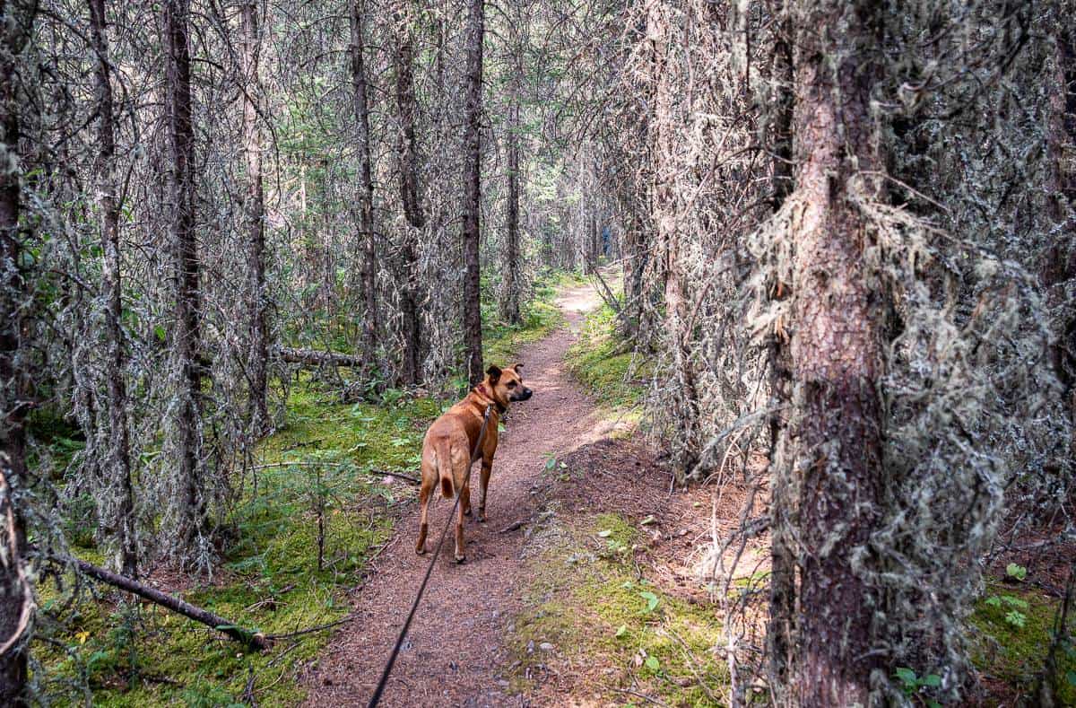
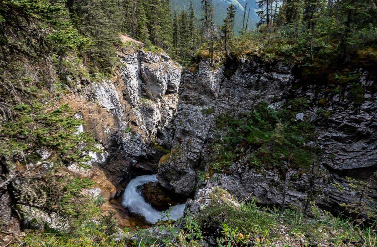
From the turnoff follow the Memorial Lakes trail up Ribbon Creek’s north-fork drainage. You’ll cross two bridges and then the trail begins to climb. When you reach a gorge, drop down to water level, and have a look before starting the steep climb up the right or north edge of the gorge.
Once you get to the top of the gorge the Memorial Lake trail levels out somewhat. You’ll reach the first Memorial Lake in short order. We were there in 2 hours, 15 minutes from the parking lot, with a few short stops for photos and water.


The first Memorial Lake
We stopped for a short break at the first Memorial Lake – where I noticed a couple of tents in the woods, benches, and a fire pit. There is a rough campsite here that is free to use, but you’ll need a backcountry permit which you can get at the Barrier Lake Centre on Highway 40.
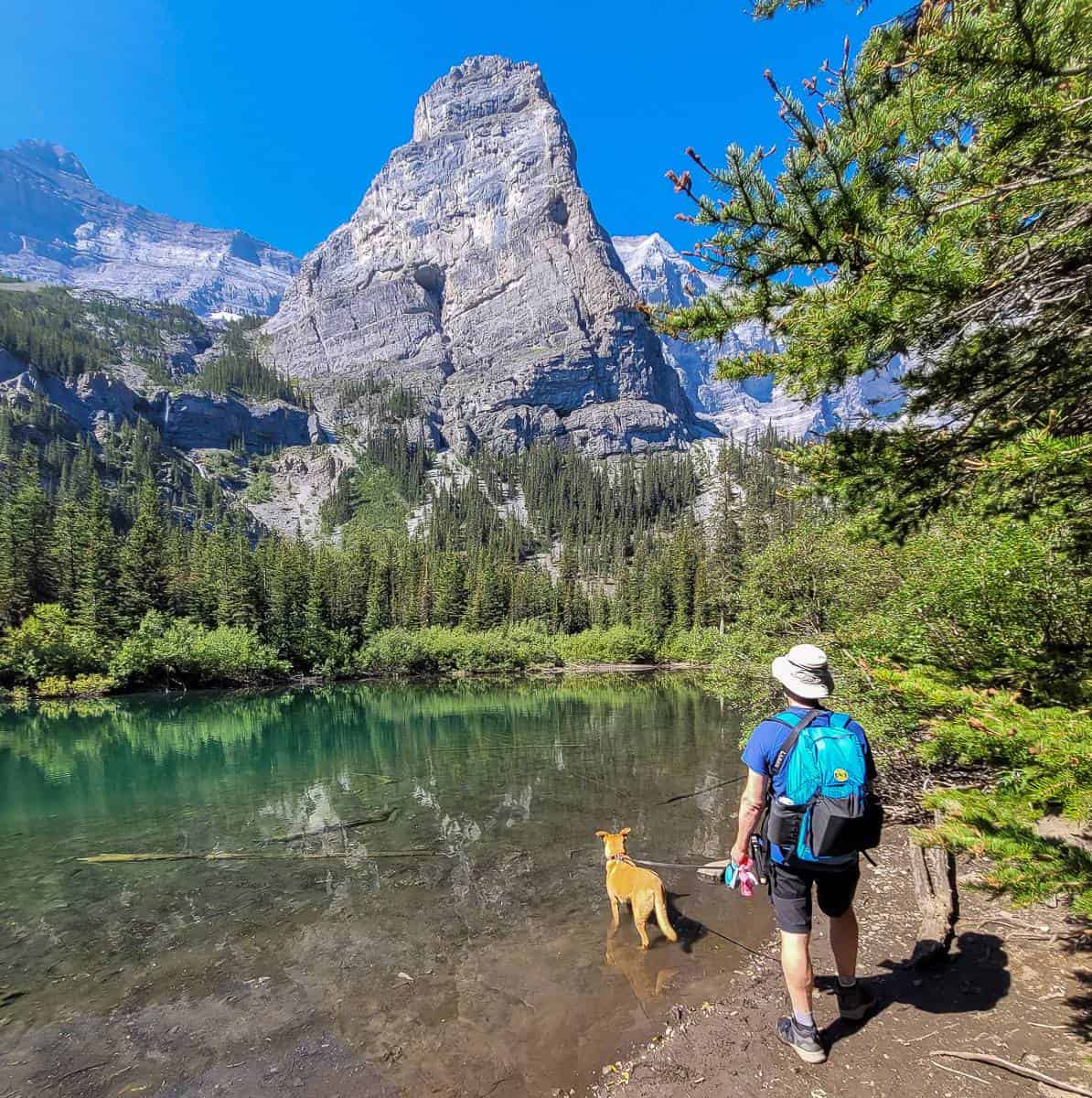
From the first Memorial Lake you get a view of Bogart Tower (front and centre). Mount Bogart is in the background on the left and Mt. Sparrowhawk to the far right or northwest. Ribbon Peak, not shown, is to the left.
You can also see a cascade to the left of Bogart Tower. Some people hike down this awful scree slope from the third Memorial Lake, but it is NOT recommended.
The hike to the second of the Memorial Lakes
The hike to the second of the Memorial Lakes is steep and harder – especially on the descent back to the first lake, but I’m getting ahead of myself.
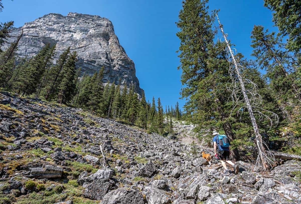
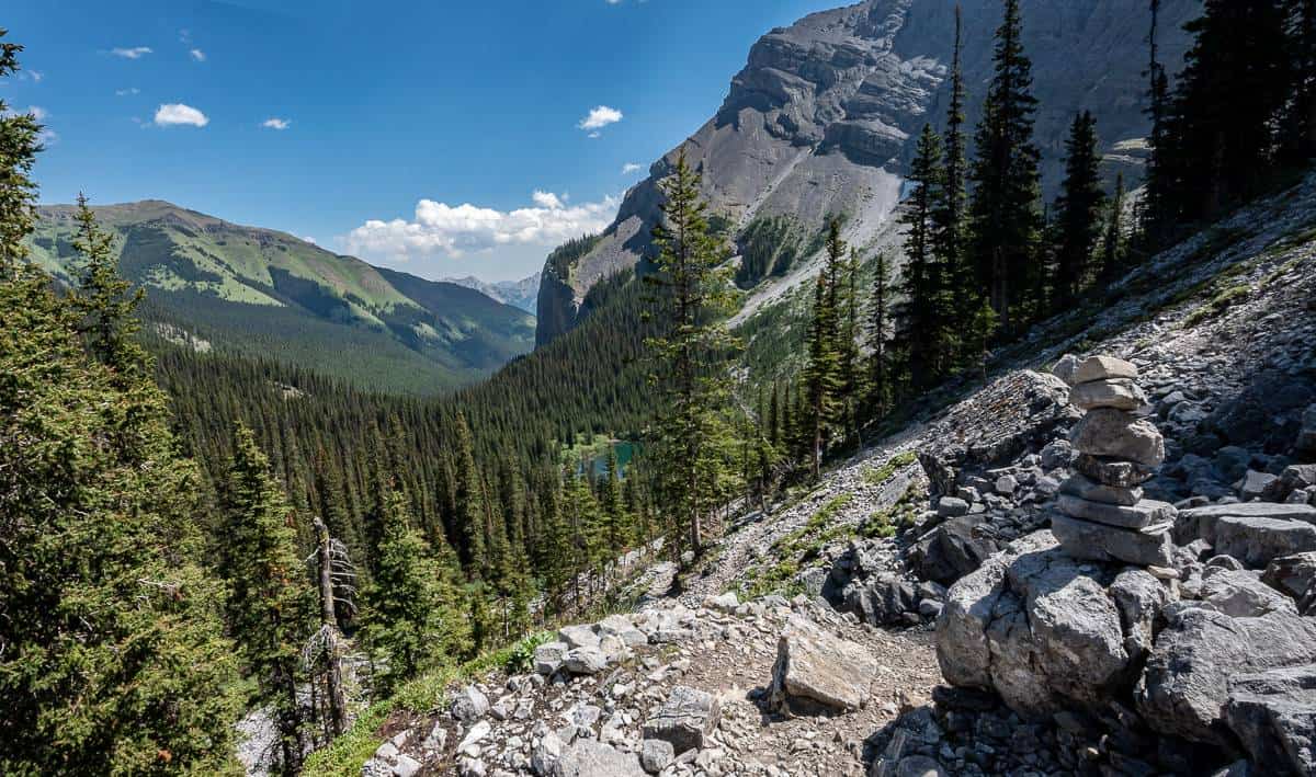
To find the trail, hike around to the far end of the first Memorial Lake. You’ll see a trail or trails going up through the thick willows, with at least one marked by flagging tape. Make your way through them, cross an inlet stream, and turn right. Hike steeply up the rocks to the left of the inlet stream pictured below. Cross a rockslide at the base of the Bogart Tower – looking for cairns along the way. It’s straightforward once you’re through the meadows and on this trail.
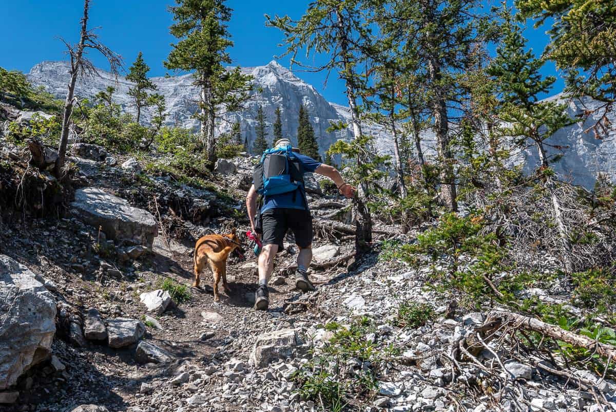
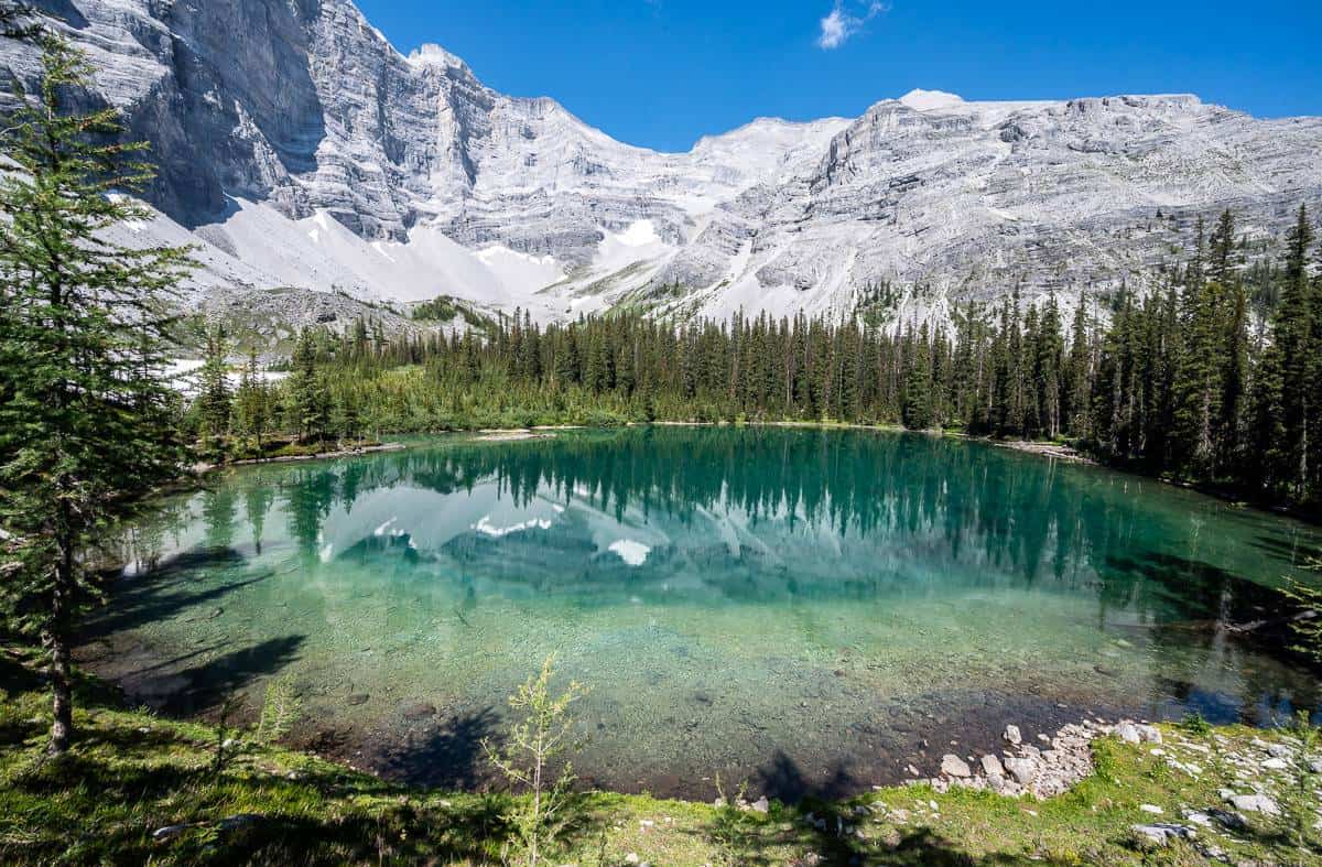
When you come to an open area with a cairn look up and decide which route you want to take. The route up the scree looks fine going up, but we opted for the hike up through the forest. You come out at the same place by a large cairn – overlooking the second Memorial Lake. Follow the trail down to the water and find a place for lunch.






A stop at the second Memorial Lake
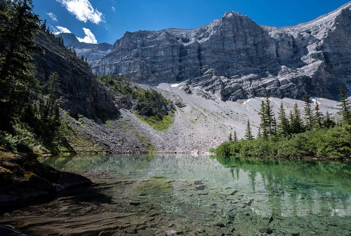
We wandered around to a lovely spot beside the water and enjoyed a peaceful lunch at the second Memorial Lake. There wasn’t a soul around for the first hour and as we were about to leave we saw a couple of guys coming down the scree from the third Memorial Lake.



The hike to the third Memorial Lake
We opted not to hike to the third of the Memorial Lakes because of the heat, time of day, the dog, and the level of difficulty. Don’t go unless you are a strong hiker and are prepared for some scree and scrambling. The two men we met coming down from the lake said there was a section of Class IV scrambling – which means “Technical scrambling on exposed terrain. A fall could result in death.” I am fine with Class III scrambling and rock climbing where I’m tied in, but I wasn’t feeling it the day we did it.
Fresh intel via a Facebook comment: One woman said she was able to avoid the scramble by walking up narriw cliff bands. Next year I’ll have to go back without the dog, look for the cliff bands, and hike it again.
You must scramble up through a vertical gulley – the crux of this part of the Memorial Lakes hike. Then you go through a “meadowy draw” and up to the right of a tiny basin. Nothing is difficult past the scree and it’s only a kilometre away. You can hike around the third Memorial Lake, located in an alpine cirque below Mt. Bogart and Ribbon Peak. The stone memorial is on top of a knoll on the northeast shore of the lake.
To return, retrace your steps, exercising great caution on the descent through the scree.
The descent from the second Memorial Lake
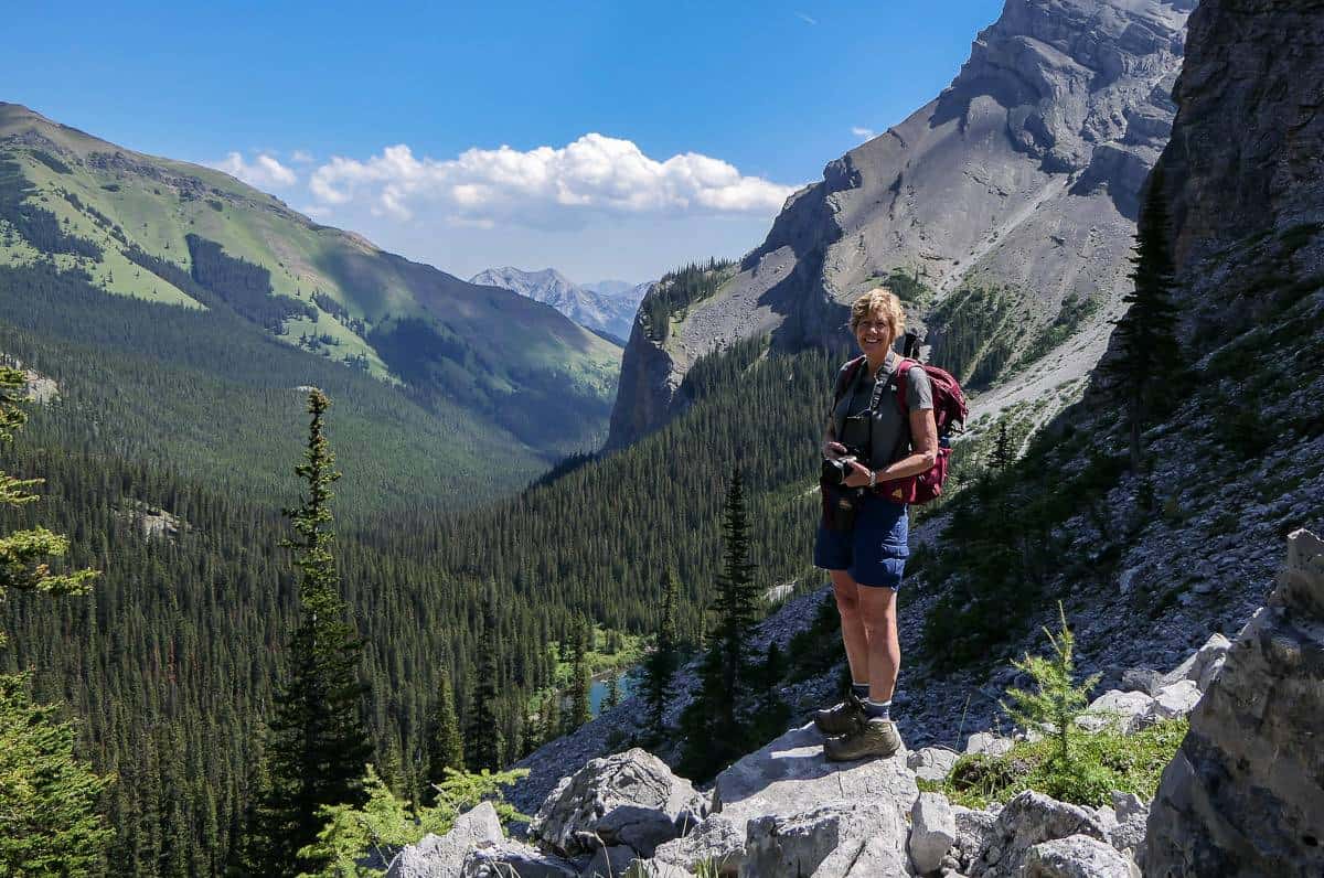
To return to the first Memorial Lake, and the parking lot simply retrace your footsteps. Before we started down, we went over to look at the trail down through the scree – and to admire the view over to Mount Allan, before going back down the way we came up – which was through the woods and not on the scree. Take your time on the steep bits.
It took us 2.75 hours to hike back to the car from the second lake – with several stops along the way to dip feet and hands in the cooling waters.

A few things to take on the Memorial Lakes hike
Take bear spray in an easy to access bear spray holster.
For the Memorial Lakes hike, pick up a copy of Gem Treks Canmore and Kananaskis Village.
Don’t forget a water filter or purification tablets so you don’t cramp up from dehydration. And take some energy-protein bars as it’s a long hike so you’ll need a boost for the final hour.
Consider taking a pair of lightweight socks Darn Tough socks you can change into near the end of the day especially if you typically wear heavier ones. Take Compeed – a product I swear by for blisters. It’s expensive but worth every penny as it speeds up healing time.
Where to stay near the trailhead
If it’s car-camping you’re interested in, read A Complete Guide to Camping in Kananaskis.
You’ll pass the Kananaskis Wilderness Hostel on the drive in.
If you’re after a glamping experience in teepees or trapper’s tents, check out Sundance by Basecamp.
In Kananaskis Village, just five minutes from the trailhead is the Kananaskis Mountain Lodge.
Interested in more hikes in the area?
Click on the photo to bookmark to your Pinterest boards.













Discussion about this post