In Tairāwhiti, farmers near Tolaga Bay saw forestry slash and land damage from winds and heavy rain as a result of Cyclone Gabrielle on 14 February.
Photo: Supplied / Bridget Parker
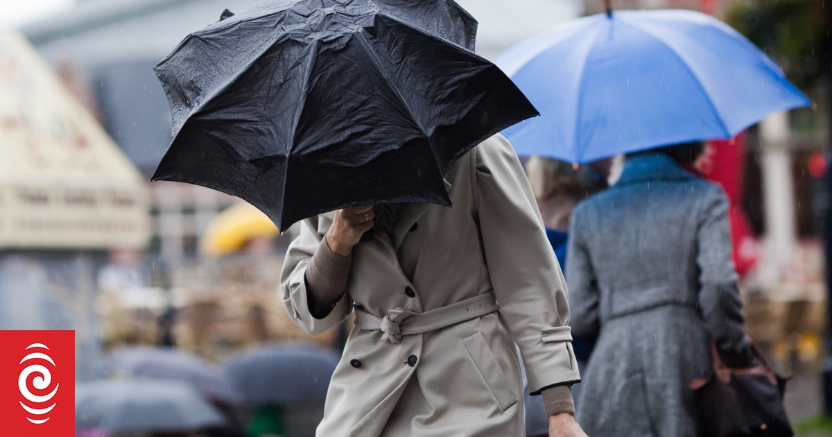
The North Island could be in for more stormy weather, with a severe thunderstorm watch issued.
MetService is warning that thunderstorms could be severe in Bay of Plenty, Rotorua, eastern Taupō, the ranges of Hawke’s Bay and Gisborne, and Gisborne north of Tolaga Bay, with localised downpours of 25 to 40mm per hour – and possible hail.
The thunderstorm watch is in place from 3pm until 10pm Thursday and MetService said all the ingredients were there for it to be severe, though it could not be sure.
⚡ Severe Thunderstorm Watch
issued for 3pm-10pm todayAny thunderstorms that develop will be isolated but they may bring localised downpours of 25 to 40 mm/h. This could bring further surface or flash flooding and make driving conditions hazardoushttps://t.co/GZIq9J48pw pic.twitter.com/HO72KV6vEv
— MetService (@MetService) February 15, 2023
The new weather warning comes after Cyclone Gabrielle brought destruction to many parts of the North Island, and many regions had still not recovered.
MetService meteorologist Lisa Murray said thunderstorms could appear quickly with very little notice.
She said it was like a pan of popcorn, you did not know which would pop first.
Murray said hail was rare during the summer but not unheard of.
“Although the thunderstorm is not meant to be that large, it’s the rainfall we are worried about,” Murray said.
If you squint you can see Cyclone Gabrielle spinning away to the southeast of the Chatham Islands
A front extending from Gabrielle brings heavy rain to central Aotearoa today, with a Watch and Warning in place for Wairarapa and Wellington until noonhttps://t.co/Yjbq0jfCz1 pic.twitter.com/9m7gsEK0zZ
— MetService (@MetService) February 15, 2023
She advised people to be alert and take precautions.
Hawke’s Bay Civil Defence controller Ian Macdonald said with isolated thunderstorms expected, it was quite difficult including with bridges washed away but they would keep in touch with MetService.
“We are expecting some weather and it will be variable across the region, but I suppose the good news is we’ve had a couple of days where the rivers have been able to lower themselves a little bit so there is some capacity within the system.”
He said the message was to stay away from waterways, and if people with connectivity have fears for their safety they should contact 111.
National Emergency Management Agency advice:
- Put safety first. Don’t take any chances. Act quickly if you see rising water. Floods and flash floods can happen quickly. If you see rising water do not wait for official warnings. Head for higher ground and stay away from floodwater.
- Do not try to walk, play, swim, or drive in floodwater: even water just 15 centimetres deep can sweep you off your feet, and half a metre of water will carry away most vehicles.
- If you have evacuated, please stay where you are until you are given the all-clear to go home.
- If you don’t need to evacuate, support those who do by staying home, staying off roads and staying safe.
- If you are not able to contact your whānau in the heavily affected areas go to Police 105 website and complete the inquiry form or phone 105 and remember to update if you reconnect through other means.
- Throw away food and drinking water that has come into contact with floodwater as it is often contaminated and can make you sick.
- If you are without power eat the food from your fridge first, then your freezer. Then eat the food in the cupboard or your emergency kit.
- People should stay up to date with the forecasts from MetService and continue to follow the advice of civil defence and emergency services.
- A National State of Emergency is in place for an initial period of seven days and applies to regions that have declared a local State of Emergency.


Discussion about this post