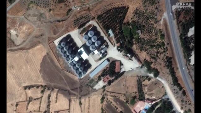
Satellite imagery captured in the days following the catastrophic 7.8 magnitude earthquake that struck southern Turkey on February 6 shows the damage wreaked on various locations in the region. Maxar Technologies released images showing the effects of the earthquake on Antakya, Kirikhan and Nurdagi. It said the imagery was captured between February 6 and 9. Some images taken prior to the quake are included to illustrate the damage caused. The satellite imagery also shows lines of traffic in the immediate aftermath of the quake and the location of the quake’s fault line, according to Maxar Technologies. The combined Turkish and Syrian death toll from the earthquake exceeded 22,000 by Friday. Credit: Maxar Technologies via Storyful


Discussion about this post