Photo:
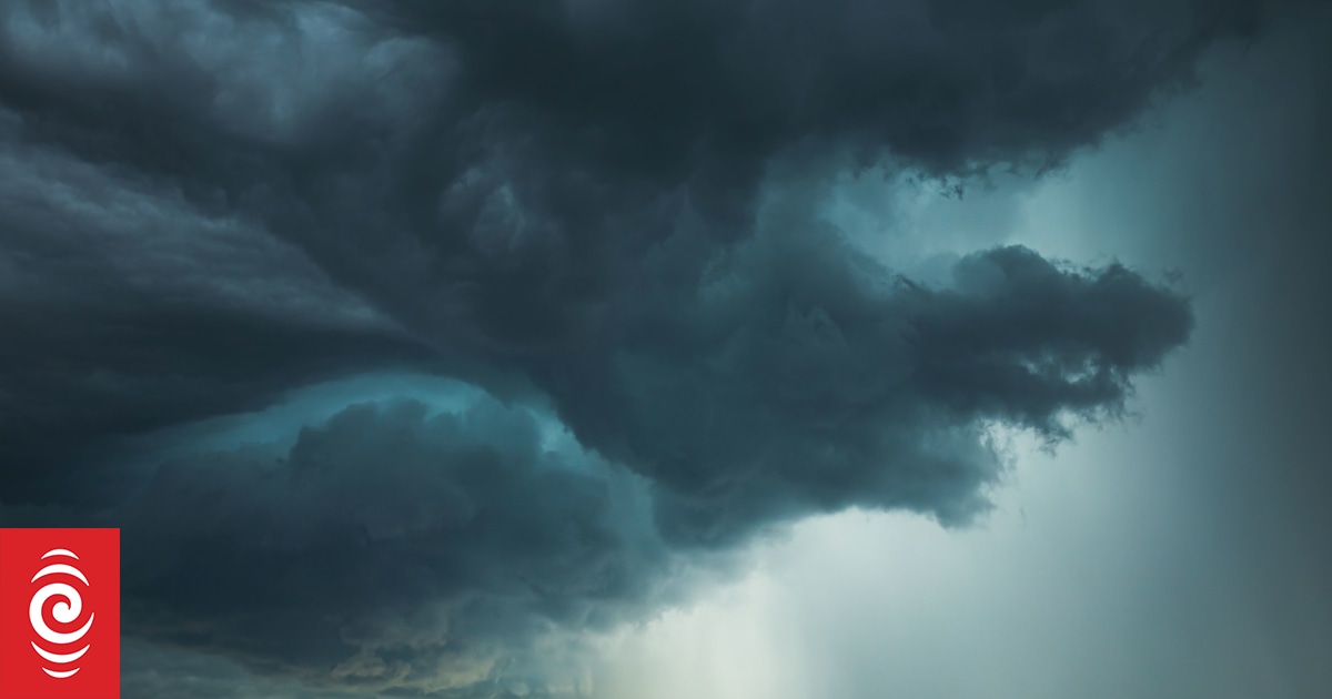
The MetService has issued severe thunderstorm watches for Hawke’s Bay and the Canterbury Plains.
Scattered thunderstorms are expected to develop over Hawke’s Bay and the Canterbury Plains this afternoon and evening, and from 3pm a few storms could be severe.
We’ve just issued two ⛈Severe Thunderstorm Watches ⛈
⛈ The first is for Hawkes Bay, from 4pm – 9pm, and the second is for parts of the Canterbury Plains and Canterbury High Country, from 3pm to 8pm.
Full details over at https://t.co/GZIq9Jlbrw ⛈ pic.twitter.com/ZBv081ti8d
— MetService (@MetService) December 23, 2022
The MetService said the severe storms could have strong wind gusts of 60km/h, with a low risk of a small but localised tornado.
It said rainfall of this intensity can cause surface and flash flooding, and driving conditions could be dangerous.
Meanwhile, meteorlogist Alwyn Bakker said high temperatures and tropical thunderstorms were expected for most of the country tomorrow.
“We’re going to be getting typical summer conditions,” he said.
“It’s going to be warm, fine breaks all over the place and we’re going to be getting a little bit of afternoon convection, so we’ll be getting some showers in locations during the afternoon and evening.”
Bakker said most places could have isolated showers, but temperatures would remain high for most of the following week.
“We’ve got a possibility of thunderstorms for some places, mostly on the eastern half the country. The wettest place would be somewhere in Fjordland or southern Westland, because there’ll be a bit of rain around, so tramping is maybe not the best for Christmas Day.”
He said Kaitaia in the far North would have one of the highest temperature this Christmas.


Discussion about this post