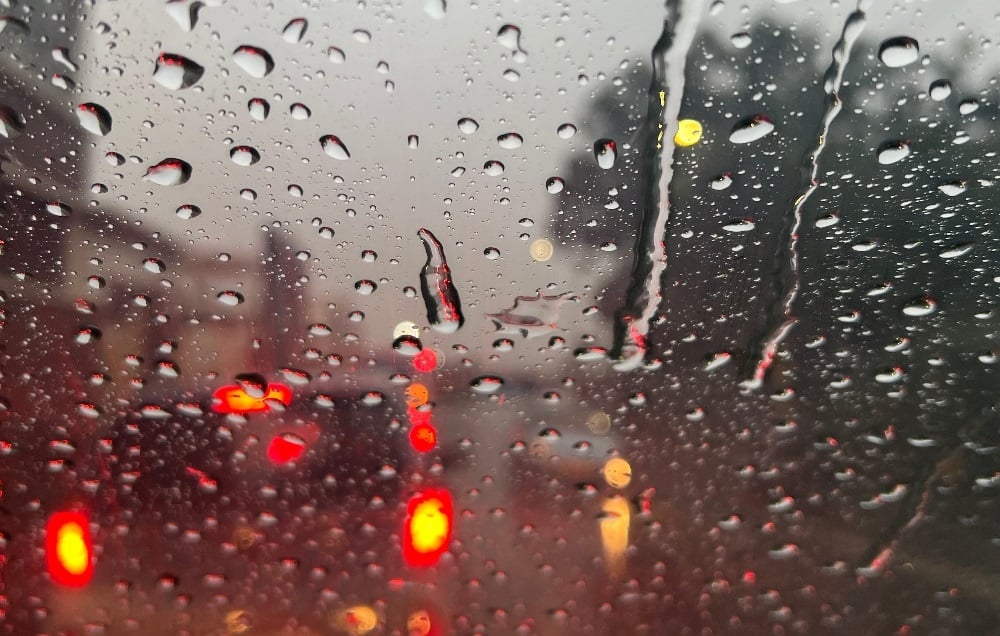
Disruptive rain and high risk of fires are expected in several regions. (Busang Senne/News24)
The South African Weather Service issued multiple warnings for disruptive rain, resulting in localised flooding, as well as high fire danger conditions in several regions.
Impact-based warnings
A Yellow Level 2 warning for disruptive rain, leading to localised flooding of roads and susceptible settlements, is expected over the Cape Winelands, the City of Cape Town, parts of the West Coast and the Theewaterskloof Municipality in the Western Cape.
Fire danger warnings
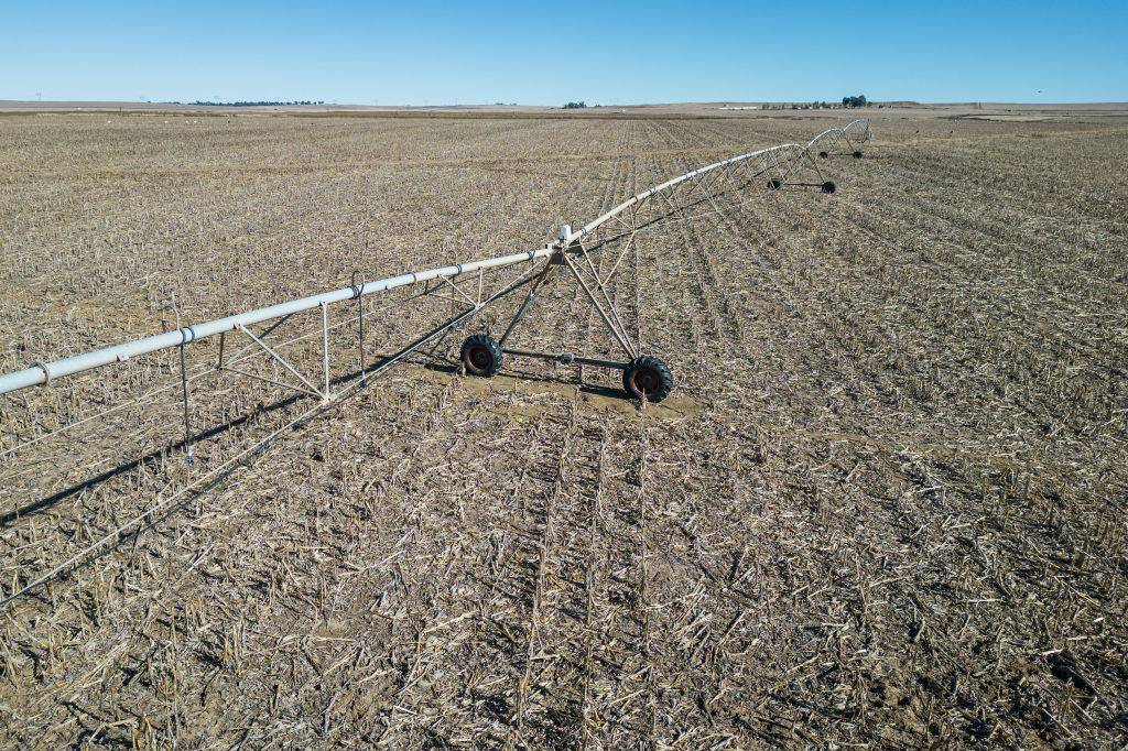
Extremely high fire danger conditions are expected over the central and western parts of the Free State, in places over the North West, the extreme northern parts of the Northern Cape, in places over the Joe Gqabi District and Matatiele Municipality of the Eastern Cape as well as the northern parts of KwaZulu-Natal.
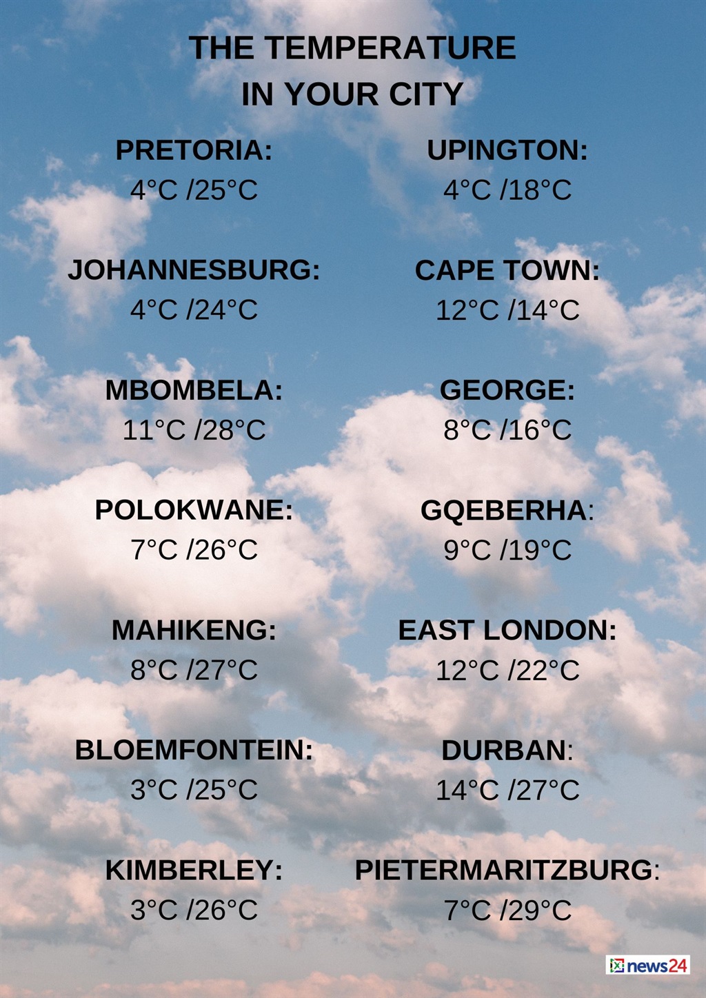
The weather in your region
Fine and cool conditions are expected in Gauteng, but it will be warm in the north.
The expected UVB sunburn index is high.
Mpumalanga and Limpopo can expect fine and cool to warm temperatures, but it will be hot in places in the Lowveld.
Fine, windy and warm conditions are forecast in the North West.
The Free State will be fine, windy and cool to warm.
Windy conditions are forecast in the eastern and central parts of the Northern Cape.
It will be cloudy and cool to warm, but cold over the southern interior, where isolated showers and rain are expected.
It will be fine in the north-east.
The wind along the coast will be a moderate to fresh northerly to north-westerly.
Partly cloudy conditions for the south-west of the country, otherwise fine and cool to warm conditions expected for tomorrow. ?????Disruptive rainfall still possible over some parts of the south-western Cape Province?? pic.twitter.com/crGAGAbHJT
— SA Weather Service (@SAWeatherServic) July 17, 2024
Cloudy conditions are expected in the Western Cape, with cold to cool temperatures.
Isolated to scattered showers and rain are forecast in the west, but it will be widespread in the extreme south-west, spreading to the east from the afternoon.
The wind along the coast will be a fresh to strong north-westerly, becoming a moderate to fresh westerly to north-westerly in the afternoon.
The expected UVB sunburn index is low.
The western half of the Eastern Cape will be fine and cool, becoming cloudy from the west in the afternoon, with isolated showers south of Graaff-Reinet from the late afternoon.
The wind along the coast will be a moderate to fresh south-westerly.
Fine and cool temperatures are forecast in the eastern half of the province, becoming cloudy in the evening along the coast and adjacent interior.
The wind along the coast will be a light to moderate north-westerly, becoming moderate south-westerly in the afternoon.
Morning fog patches are expected over the north-eastern parts of KwaZulu-Natal, otherwise it will be fine and cool to warm.
The wind along the coast will be a light to moderate northerly to north-westerly in the morning, otherwise a moderate easterly to north-easterly.
It will become moderate to strong southerly to south-westerly south of Durban from the late afternoon.
The expected UVB sunburn index is extreme.


Discussion about this post