









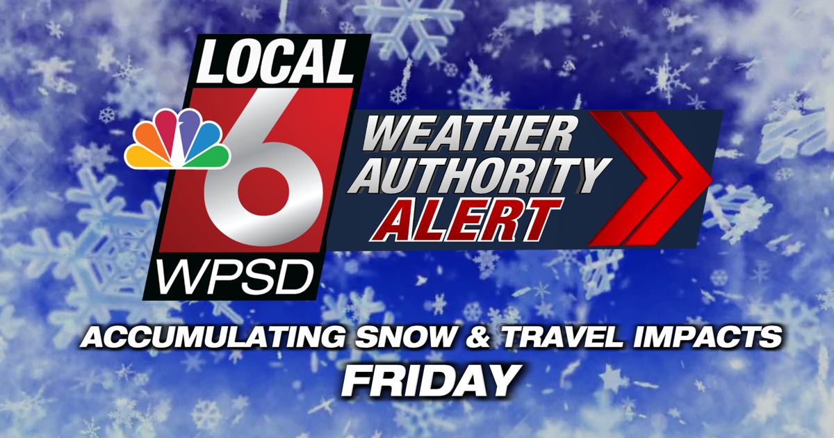
A Weather Authority Alert continue for Friday into Saturday morning, with accumulating snow creating travel impacts for all of our area.

Steady snow, heavy at times, will continue Friday morning and early afternoon, tapering off from west to east by early Friday evening.


Accumulating snow will lead to significant travel impacts. Conditions will deteriorate through the day as snow adds up. Slick roads, especially secondary roads, will persist into the weekend. With our recent cold temperatures, snow will be able to quickly accumulate on all surfaces. Temperatures will stay below freezing through this event.


A Winter Storm WARNING is currently in effect through Friday night for the entire Local 6 region. Widespread snow totals of 3-5″ are expected north-to-south across the area. Some totals approaching 6″ or higher are possible in Northwest TN and the MO Bootheel.
Be sure to download the WPSD Radar app and stay with the Weather Authority for the latest on this storm.







Discussion about this post