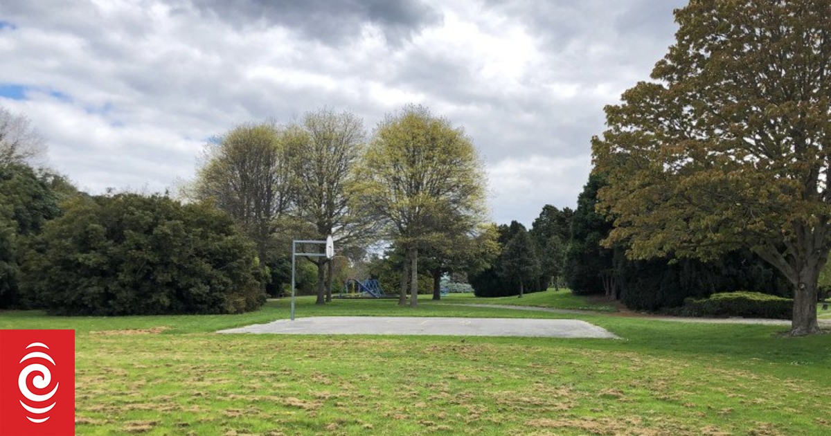
Local football and athletics clubs currently use Avon Park for training, but the council said it would work with them to help them find new permanent locations.
Photo: Christchurch City Council
Local football and athletics clubs currently use Avon Park for training, but the council said it would work with them to help them find new permanent locations.
The Christchurch City Council is seeking public feedback on plans to create a wildlife refuge and naturalised wetland areas on earthquake damaged red-zone land.
Thousands of homes were cleared from red-zoned land when it was deemed uninhabitable following the 2011 earthquakes.
The Christchurch City Council has now released for public consultation its plans for a portion of the red-zoned land along the Otakaro/Avon River corridor.
The proposals include shutting off part of Avonside Drive between 740 Avonside Drive and Kerrs Road, and allowing low-lying land to become a wetland.
A secondary river overflow channel in the lower terrace of this area could be created to form an island refuge for wildlife, with a bird hide similar to that in Travis Wetland, or viewing tower.
There are also plans for formal play areas, a rope swing, and foraging areas.
The council said local football and athletics clubs currently use Avon Park for training, and it would work with them to help them find new permanent locations.
It is proposing to renew the existing basketball half-court and redesign the southern field to make it more flexible for informal use.
The proposal said the park would evolve from an area for spectators of sport to spectators of a self-sustaining eco-system.
Avonside Drive between Kerrs Road and Wainoni Road could also be closed under the proposal, and access to Kerrs Road between 144 Kerrs Road and Kerrs Reach limited to daylight hours.
The council expects construction to start in the summer of 2023/24 and be completed by mid 2025.
Full details of the proposal can be found at on the council’s website Avon Park redevelopment and people have until 10 March to give their feedback to the proposal.


Discussion about this post