








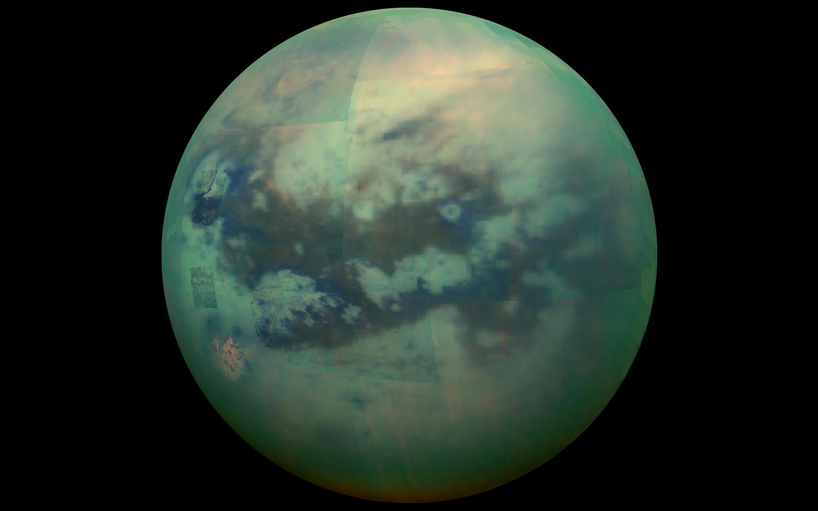
The surface of Titan. Simulations by MIT geologists indicate that the lakes and seas on Titan, Saturn’s largest moon, are shaped by wave-driven erosion. Credit: NASA/JPL-Caltech
Researchers discover that wave activity on Saturn’s largest moon may be strong enough to erode the coastlines of lakes and seas.
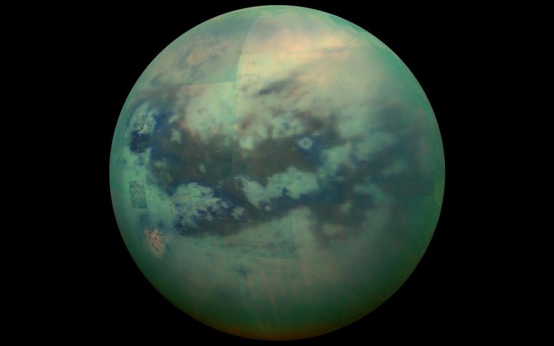
The lakes of Titan. Saturn’s largest moon, hosts active rivers, lakes, and seas, likely shaped by waves according to MIT researchers who used simulations to study the erosion of Titan’s shorelines. Credit: NASA
Waves As Erosive Forces on Titan
The MIT team took a different approach to investigate the presence of waves on Titan, by first modeling the ways in which a lake can erode on Earth. They then applied their modeling to Titan’s seas to determine what form of erosion could have produced the shorelines in Cassini’s images. Waves, they found, were the most likely explanation.
The researchers emphasize that their results are not definitive; to confirm that there are waves on Titan will require direct observations of wave activity on the moon’s surface.
“We can say, based on our results, that if the coastlines of Titan’s seas have eroded, waves are the most likely culprit,” says Taylor Perron, the Cecil and Ida Green Professor of Earth, Atmospheric and Planetary Sciences at MIT. “If we could stand at the edge of one of Titan’s seas, we might see waves of liquid methane and ethane lapping on the shore and crashing on the coasts during storms. And they would be capable of eroding the material that the coast is made of.”

Example model landscapes starting with a shoreline with flooded river valleys (left) and eroded by waves (top right) or uniform erosion (bottom right). Credit: Courtesy of the researchers
Perron and his colleagues, including first author Rose Palermo, a former MIT-WHOI Joint Program graduate student and a research geologist at the U.S. Geological Survey, will publish their study in a forthcoming issue of DOI: 10.1126/sciadv.adn4192
This work was supported in part by NASA, the National Science Foundation, the USGS, and the Heising-Simons Foundation.









Discussion about this post