








We continue with a Weather Authority Alert through Saturday for the potential of periods of heavy rainfall and significant flooding impacts…plus a continued threat for isolated severe storms. We still expect the potential for some areas to pick up close to 8-10″ or more of additional rainfall through the start of the weekend.
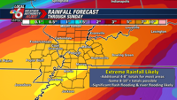
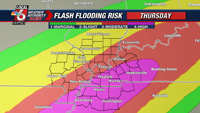
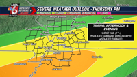
Waves of showers and thunderstorms are likely Thursday afternoon and evening, likely continuing into the overnight hours. Parts of KY and TN could pick up an additional 2-5″ of rain, where we have a rare high risk for flash flooding. We may also see a few isolated severe storms Thursday afternoon and night, with a risk of large hail, damaging wind gusts, and an isolated tornado.


Friday will likely start with ongoing showers & t’storms, then a break in the afternoon as the stalled front lifts back to the north. The heaviest rain threat Friday afternoon and evening will setup over parts of IL & MO. We’ll also have an increasing threat for severe storms once again Friday night.

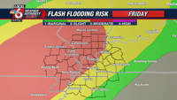

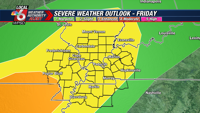
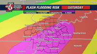
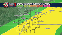
Heavy rain and strong storms continue Friday night into Saturday. It’s likely that our most widespread flooding impacts will occur during this time frame, with another rare high risk of excessive rainfall and flooding heading into Saturday. This also some along with yet another risk for a few severe storms.










Discussion about this post