








Dunedin.
Photo: RNZ / Tess Brunton
Another another chilly day is in store across much of the country as a polar blast dumped snow and closed roads in the South Island, and the freezing weather swept into the lower North Island.
Overnight Wanaka reached -3C and by 6am much of the lower South Island was shivering in near-zero temperatures.
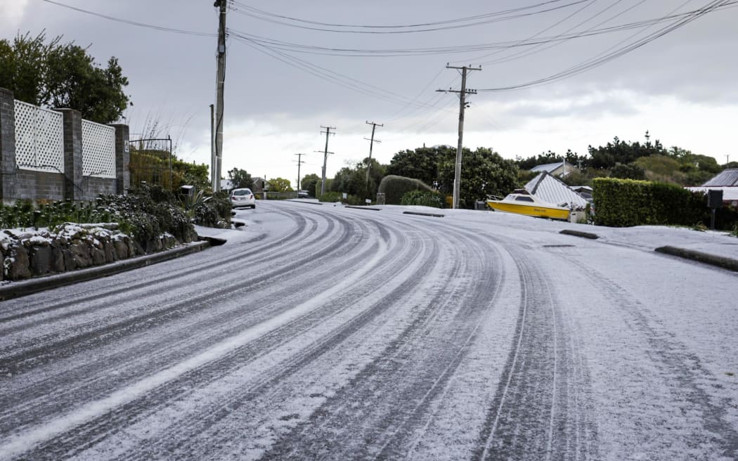
Port Hills, Christchurch.
Photo: RNZ / Nathan Mckinnon
Mōrena, no surprise if you are struggling to shed the blanket this morning. Here’s a look at the 6am temperatures across the country.
Low’s last night reached -3C at Wanaka. pic.twitter.com/cRa3yN8v0k
— MetService (@MetService) October 5, 2022
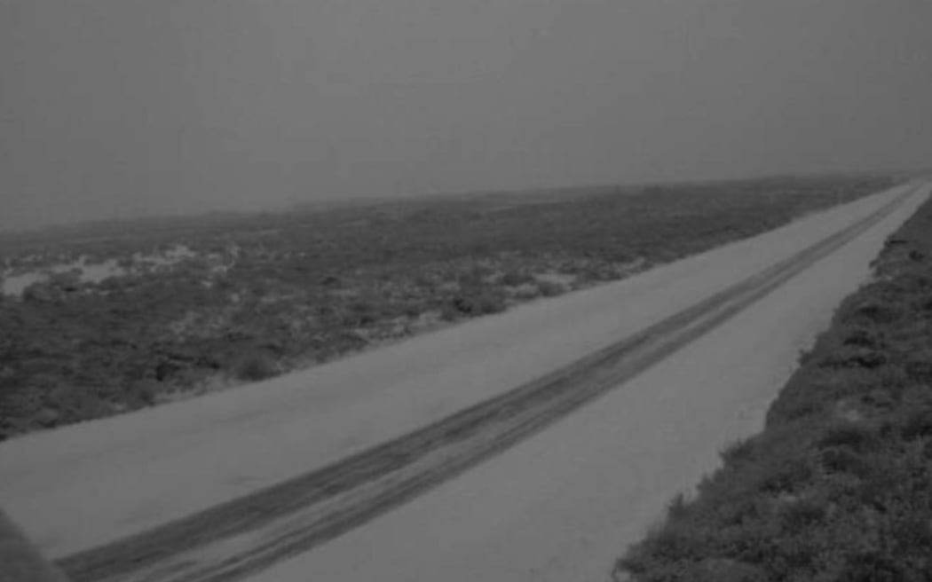
Desert Road covered in snow.
Photo: Waka Kotahi NZTA
Multiple highways in Otago are closed due to snow or icy conditions, and in the North Island the Desert Road (SH1) was closed from Waiouru to Rangipo.
Waka Kotahi South Island journey manager Tresca Forrester said most of the roads were closed through the night to prevent people getting stuck in icy conditions, and and it shouldn’t be a hard job to get them reopened during the day.
- State Highway 93 Clinton to Mataura is closed due to very heavy snow.
- SH1 north of Dunedin right up to Palmerston still closed with an update expected around 10am.
- SH8 Roxburgh to Alexandra, SH85 Kyeburn into Palmerston and SH87 Kyeburn to Outram.
- Akaroa Highway is closed with an update expected around 10am.
There were also likely to be some issues on the local roads in some of the inland Otago areas as snow did not just affect the state highways and people could stay up-to-date on that via their local councils, Waka Kotahi South Island journey manager Tresca Forrester said.
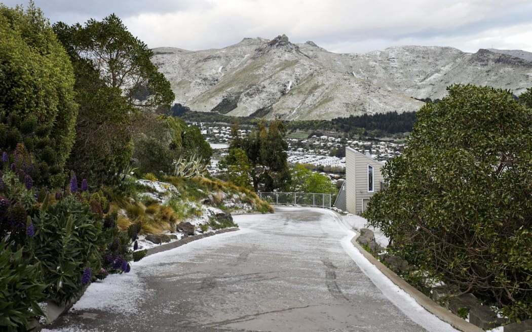
Port Hills.
Photo: RNZ / Nathan Mckinnon
UPDATE 9:15AM, THU 6 OCT
SH8 Roxburgh to Alexandra is now fully OPEN. Please continue to take extra care if travelling today. ^AP https://t.co/pJ7TeGa1aG— Waka Kotahi NZTA Otago & Southland (@WakaKotahiOS) October 5, 2022
Heavy snow warnings were in place for Southland, and much of Otago, the Southern Lakes District and Fiordland until mid-morning – and in the north snow above 200m was forecast for Wairarapa and the eastern hills of Wellington.
Canterbury and Otago
NIWA meteorologist Chris Brandolino said there are likely to be more snow showers over eastern portions of Otago today.
“So Balclutha, Dunedin, they’ll be dealing with snow showers, cold temperatures.”
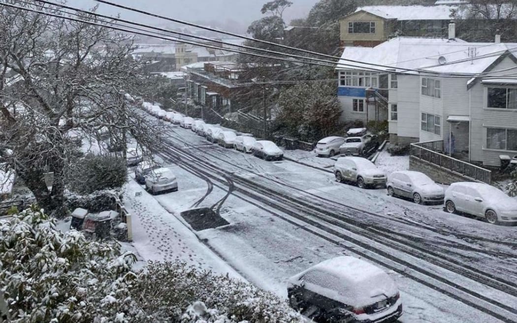
Dunedin.
Photo: Supplied
The core of the coldest air was likely to move over the South Island later today, he said.
“And then as that core of the coldest air shifts farther east things will very slowly, I do emphasise slowly, improve today but a pretty windy cold day for the entire country.”
Many people could expect sub-zero temperatures this morning with conditions feeling like mid-winter, he said.
“And then we have gusty south to south-west winds and that means sub-zero wind chill.”
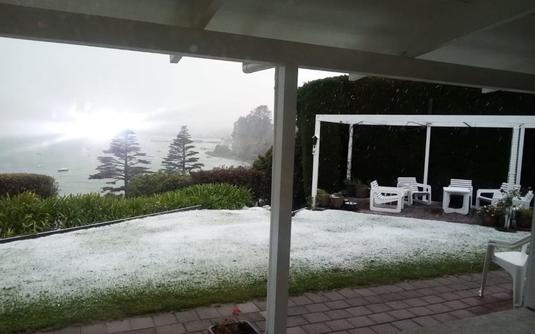
Snow was almost down to sea level in Akaroa on Thursday morning.
Photo: Supplied / Rachel Tipping
Temperatures like this would not be out of place in July, but it was unusually cold for early October, he said.
Christchurch got some small snow fall, but nearby Banks Peninsula was were the snow was most evident, Brandalino said.
The cold conditions were unlikely to last though, he said.
“By early next week, say Monday, it’s very possible that places that are dealing with snow, well everyone’s dealing with the cold temperatures – places that dealt with snow this morning, for example Christchurch, they could be in the lower 20s.”

In Christchurch.
Photo: RNZ / Adam Burns
RNZ reporter in Christchurch said snow had fallen to sea level overnight and many cars and rooves were coated in snow this morning. Snow had not settled on the roads though and there were no major problems getting around the city, he said.

In Goughs Bay.
Photo: Lyndon Palmer
In Goughs Bay, on the eastern part of Banks Peninsula near Christchurch, cattle farmer Sandie Stewart said her farm had about an inch of snow overnight.
There was snow right down to sea level, she said.
“It’s very pretty, the sun is just making its way through the massive cloud down toward the east over the beach, so it’s quite magical really.”
Sheep farmers who were still lambing might have some worries, she said.
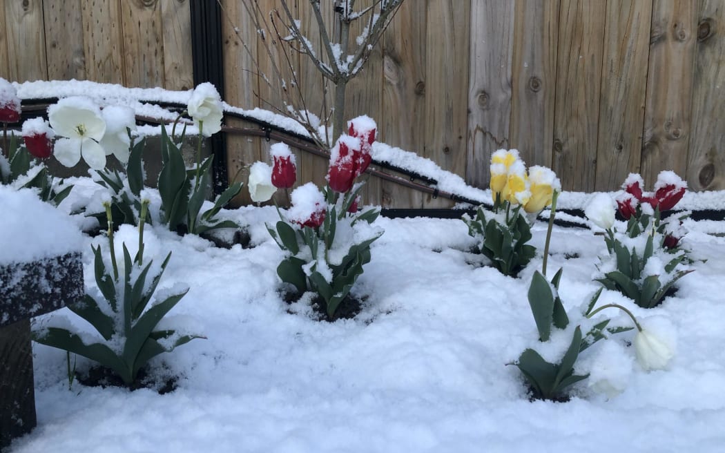
In Dunedin.
Photo: Supplied / Heather Rivett
Dunedin mayor Aaron Hawkins told Morning Report there was “plenty of snow” in the town belt and and the message for people was to stay at home if they could, especially in the hill suburbs.
“We’re not through this blast yet so the less traffic we can see on the roads this morning the safer we’ll all be.”
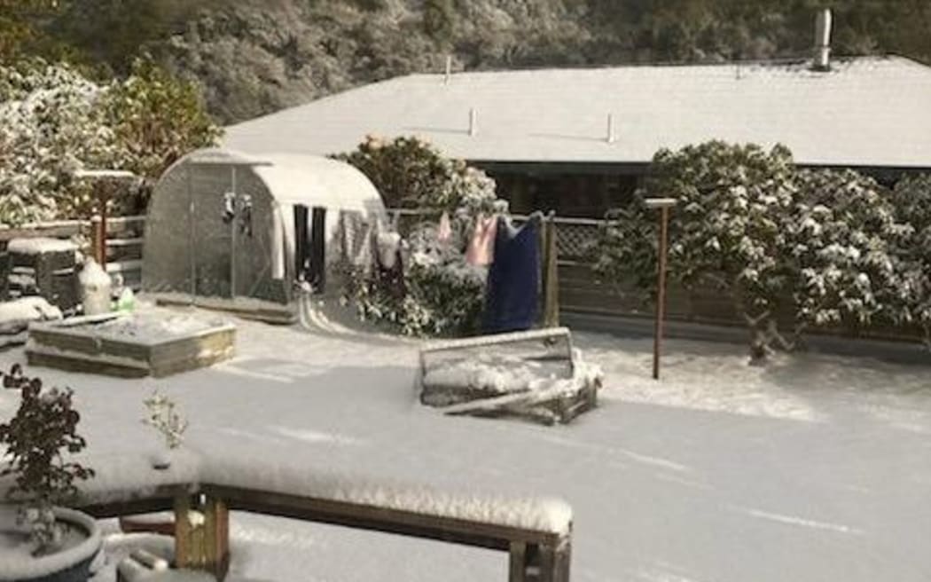
Dunedin.
Photo: Supplied / Mal Dixon
Clyde Orchard manager Kris Robb said it was a busy night for Otago orchardists preparing for the polar blast that has brought snow
There was a lot of maintenance including checking double-checking fuel levels on wind machines and ensuring frost detection measures were in place, he said.
“The fruit’s at a really vulnerable stage at the moment.
“The apricots are probably at their most vulnerable, where they’re just really small, green fruit, so they’ve got no protection from leaves or flowers or anything like that.
“The peaches and nectarines aren’t too far behind them and the cherries are just starting to come out in flower now, so a severe frost could damage our crop.”
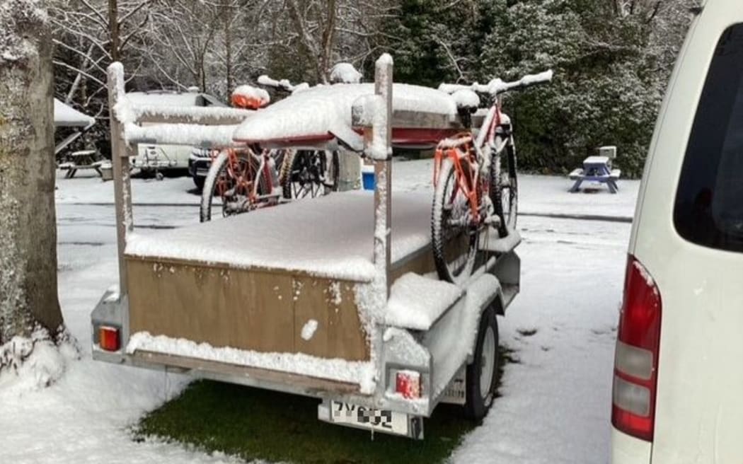
Dunedin.
Photo: Supplied / Alison Brierley
Wellington
Wellington commuters will have some obstacles this morning with the cold surge affecting transport plans.
Metlink had replaced trains with buses this week for planned maintenance, and on top of that, snow on Remutaka Hill Road will now affect buses taking that route.
Travelling as usual were today’s 6.47am train service from Masterton and the afternoon services from Wellington back to Masterton at 4.25pm, 5.30pm and 6.18pm would operate as normal – but the usual services in-between those times would not be operating today.
Metlink general manager Samantha Gain said those not operating would usually be replaced by buses.
“At the moment because of work on the line and because of the unknown conditions on the Remutaka Hill Road we decided not to run those for safety reasons.”
A snowfall warning will be in place on Remutaka Road until this afternoon.
MetService has warned the freezing temperatures could cause stress for livestock, putting pressure on farmers to make sure their animals are safe.
Overnight thunderstorms and hail made their way over the capital.
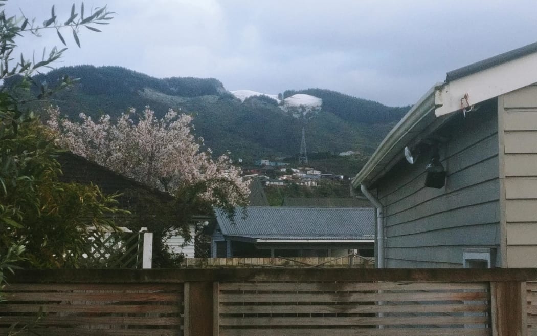
In Upper Hutt.
Photo: RNZ / Russell Palmer
❄ Snow in Wellington ❄
While most the snow showers are east of the city now, we have received reports of snow throughout the city overnight.
This video was captured by MetService Meteorologist Will Nepe in Johnsonville.
If you’ve got photos or videos of the snow, tag us! pic.twitter.com/wqjOdd9XAg
— MetService (@MetService) October 5, 2022






Discussion about this post