
[ad_1]
The latest data released by the U.S. Drought Monitor Thursday
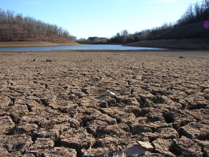
showed that California has relieved much from drought conditions
with no region of D3 (Extreme Drought) or D4 (Exceptional Drought)
on map, Trend
reports citing Xinhua.
Comparing to last week’s map, a large piece of the state along
the Pacific coastline, including most of Santa Cruz, Monterey, San
Luis Obispo, Santa Barbara and Ventura counties, were considered
“abnormally dry,” or D2 level.
Parts of Los Angeles, Riverside and Imperial counties had also
emerged from drought conditions in recent weeks, and Humboldt and
Del Norte counties in Northern California were looking especially
good, the U.S. Drought Monitor said.
Just one month ago, more than a third of the most populous state
in the United States was in extreme or exceptional drought.
However, the major improvement in drought conditions along the
California coast brought new challenges to the state as it had seen
more than 600 landslides since the start of the year.
A series of winter storms from late December to early January
caused flooding and triggered mudslides, especially in mountain
regions stretching along Highway 1 where wildfires left scores of
burn scars in recent years.
Highway 1 remains closed in parts of Big Sur as crews work to
repair damage caused by three major slides three weeks ago. On
Wednesday, local authorities said portions of the Big Sur community
face long-term isolation due to the road closure.
“Residents, property owners, and tourists ‘shall not’ attempt to
pass thru the slide areas on and around State Route 1 in Big Sur.
It is very unsafe, the ground is unstable and the threat of
potential loss of life is real,” a statement read.
In the Sierra Nevada, a mountain range that lies in California
running 640 kilometers north-south, the water content of the
snowpack in the North is 220 percent of normal as of Thursday,
while in the Southern Sierra, it’s 260 percent of normal to
date.
The snowpack supplies roughly a third of California’s water when
it melts and runs off into rivers and reservoirs.
Some reservoirs saw significant rises in water levels but there
are still significant deficits to overcome. The largest reservoir
in the state, Shasta Lake, the water level on Thursday is 985.29
feet (300.31 meters), almost 100 feet (30.48 meters) higher than in
last October, but it is still 81.71 feet (24.91 meters) below full
pool of 1,067.00 (325.22 meters).
[ad_2]
Source link
