Last week’s above-average temperatures, especially away from the coastline, will cool to seasonal levels as a weak surface low-pressure system (1,010 millibars) develops over Point Conception.
This system will produce gentle to moderate (8 to 18 mph) northwesterly (onshore) winds. Consequently, a persistent marine layer will develop along the immediate coastline (Fogust) with little clearing during the afternoon. Away from the ocean, the low marine clouds will spread inland during the night and morning with areas of fog and pockets of mist and drizzle, clearing by the afternoon.
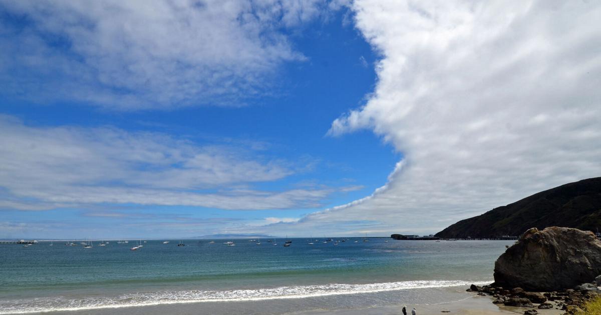
High temperatures will range from the mid-70s in the coastal valleys (Santa Maria and Lompoc) and the high 80s to the low 90s in the inland valleys (Santa Ynez). The beaches will remain in the low to mid-60s. These seasonal temperatures will continue through the week.
Fresh to strong (19 to 31 mph) northwesterly winds will develop along the coastline on Monday and Tuesday afternoon, decreasing on Wednesday and Thursday. This onshore flow will produce more clearing along the beaches during the day.
Monsoonal moisture will stream over the Central Coast Central later this week, with variable mid- to high-level clouds. This condition may bring rain and thunderstorms to the Sierra Nevada Mountains.
The long-range models are advertising above normal temperatures and below-average precipitation for September and October.
Sat Sun Mon Tue Wed Thu Fri Sat
53/74 55/73 57/77 57/76 58/75 57/74 56/74 55/73
Sat Sun Mon Tue Wed Thu Fri Sat
57/85 56/85 55/90 55/91 56/88 56/88 57/88 56/87
Sat Sun Mon Tue Wed Thu Fri Sat
54/72 56/71 55/77 56/72 55/72 56/73 55/72 55/70
Seawater temperatures will range between 54 to 57 degrees through Friday.
Strong to gale-force (25 to 38 mph) northwesterly winds off the Northern California coastline will generate a 5- to 7-foot northwesterly (300-degree, deep-water) sea and swell (with a 7- to 11-second period) on Saturday, decreasing to 3 to 5 feet with the same period on Sunday.
Fresh to strong (19 to 31 mph) northwesterly winds along the Central California coastline will generate a 5- to 7-foot northwesterly (310-degree, deep-water) sea and swell (with a 5- to 8-second period) on Monday into Tuesday, decreasing to 3 to 5 feet (with a 7- to 11-second period) on Wednesday through Friday.
Arriving from the Southern Hemisphere
A 1- to 3-foot Southern Hemisphere (210-degree, deep-water) swell (with a 15- to 17-second period) will arrive along our coastline on Tuesday and remain at this level through Thursday.