
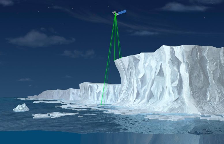
Illustration of NASA’s Ice, Cloud and land Elevation Satellite-2 (ICESat-2), a mission to measure the changing height of Earth’s ice. Credit: NASA
Following the strongest solar storm in twenty years, 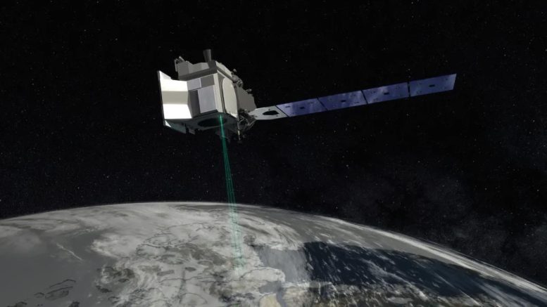
An artist’s rendering of ICESat-2. The satellite went into a safe hold following solar storms in May 2024, and is expected to return to science mode in mid-June. Credit: NASA’s Goddard Space Flight Center
About NASA’s ICESat-2
ICESat-2, short for Ice, Cloud, and land Elevation Satellite-2, is a NASA satellite mission designed to measure ice sheet elevation and sea ice thickness, as well as land topography and vegetation characteristics. Launched in September 2018, the satellite employs a sophisticated laser altimeter system called ATLAS (Advanced Topographic Laser Altimeter System) to provide precise and detailed measurements of Earth’s surface.
ICESat-2’s high-resolution data helps scientists understand changes in ice sheets, glaciers, and sea ice that result from climate change, enhancing our ability to accurately predict future sea level rise and assess changes in Earth’s ecosystems. This satellite is a critical tool in NASA’s Earth Observing System, contributing valuable data for environmental research and climate science.
