
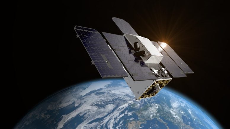
Tanager-1, a satellite equipped with advanced Carbon Mapper data portal.
Methane and carbon dioxide are the greenhouse gases that contribute most to climate change. About half of methane emissions worldwide result from human activities — primarily from the fossil fuel, agriculture, and waste management industries. Meanwhile, there is now 50% more carbon dioxide in the atmosphere than there was in 1750, an increase largely due to the extraction and burning of coal, oil, and gas.
“The Carbon Mapper Coalition is a prime example of how organizations from different sectors are uniting around a common goal of addressing climate change,” said Riley Duren, Carbon Mapper CEO. “By detecting, pinpointing, and quantifying super-emitters and making this data accessible to decision-makers, we can drive significant action around the world to cut emissions now.”
Spectral Detection Capabilities
The imaging spectrometer aboard the satellite measures hundreds of wavelengths of light that are reflected by Earth’s surface. Different compounds in the planet’s atmosphere — including methane and carbon dioxide — absorb different wavelengths of light, leaving spectral “fingerprints” that the imaging spectrometer can identify. These infrared fingerprints can enable researchers to pinpoint and quantify strong greenhouse gas emissions, potentially accelerating mitigation efforts.
Tanager-1 is part of a broader effort to make methane and carbon dioxide data accessible and actionable. That effort includes using measurements provided by NASA’s EMIT (Earth Surface Mineral Dust Source Investigation), an imaging spectrometer developed by JPL and installed on the
